Austin City Hall, Austin
Map
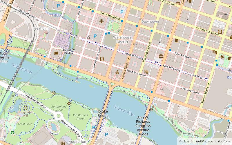
Map

Facts and practical information
Completed: 2004 (22 years ago)Coordinates: 30°15'53"N, 97°44'50"W
Day trips
Austin City Hall – popular in the area (distance from the attraction)
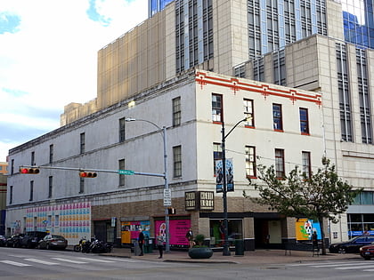
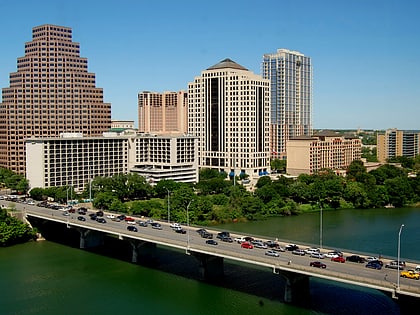
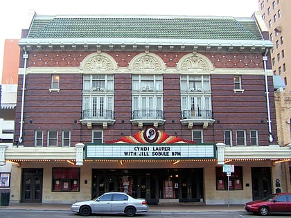
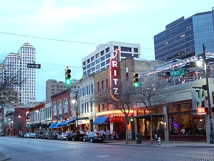
Nearby attractions include: Mexic-Arte Museum, Ann W. Richards Congress Avenue Bridge, Paramount Theatre, Ritz.
Frequently Asked Questions (FAQ)
Which popular attractions are close to Austin City Hall?
Nearby attractions include Block 21, Austin (2 min walk), The Ashton, Austin (3 min walk), Buford Tower, Austin (3 min walk), The Northshore, Austin (4 min walk).
How to get to Austin City Hall by public transport?
The nearest stations to Austin City Hall:
Bus
Train
Bus
- 5th/Rio Grande • Lines: 663 (9 min walk)
- Megabus (26 min walk)
Train
- Downtown (14 min walk)
- Austin (17 min walk)

