Garden Grove City Hall, Garden Grove

Gallery (1)
Map
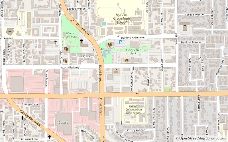
Map
Facts and practical information
Garden Grove City Hall (address: 11222 Acacia Pkwy) is a place located in Garden Grove (California state) and belongs to the category of city hall.
It is situated at an altitude of 89 feet, and its geographical coordinates are 33°46'33"N latitude and 117°56'13"W longitude.
Among other places and attractions worth visiting in the area are: Anaheim Resort, Anaheim (neighbourhood, 40 min walk), Orange County Plaza (shopping, 46 min walk), Islamic Center of Orange County (mosque, 48 min walk).
Coordinates: 33°46'33"N, 117°56'13"W
Day trips