Hahns Peak, Medicine Bow–Routt National Forest

Gallery (1)
Map
Map
Facts and practical information
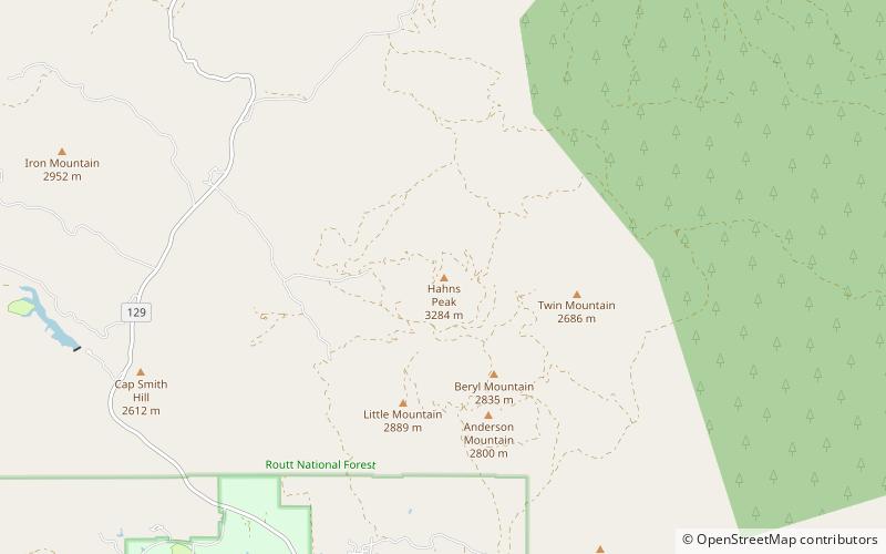
Hahns Peak is a summit in Routt County, Colorado, in the United States. With an elevation of 10,774 feet, Hahns Peak is the 1855th highest summit in the state of Colorado. ()
Elevation: 10843 ftProminence: 1599 ftCoordinates: 40°50'35"N, 106°55'48"W
Address
Medicine Bow–Routt National Forest
ContactAdd
Social media
Add
Day trips
Hahns Peak – popular in the area (distance from the attraction)
Nearby attractions include: Steamboat Lake State Park.
