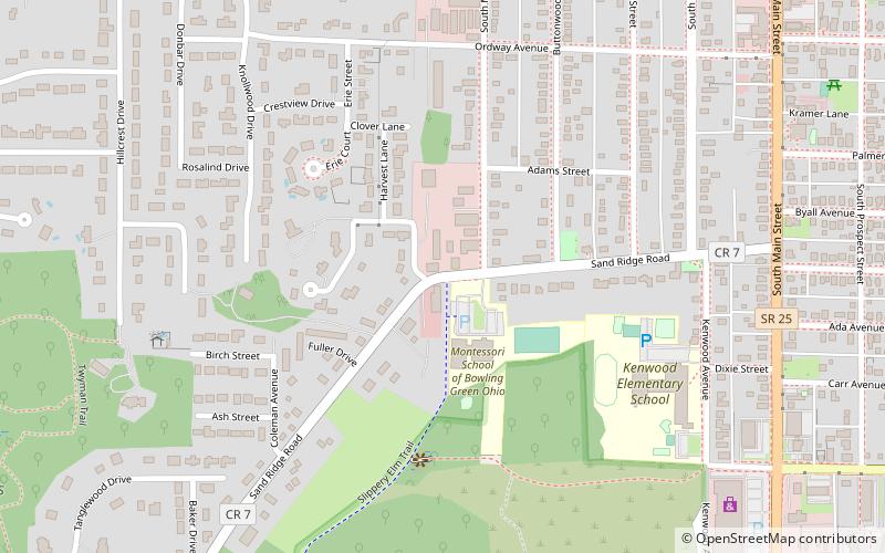
Slippery Elm Trail, Bowling Green
Map

Map

Facts and practical information
The Slippery Elm Trail is a rail to trail conversion in Wood County, Ohio that runs 13 miles from Bowling Green, through Portage and Rudolph, to North Baltimore, Ohio. ()
Length: 13 miCoordinates: 41°22'0"N, 83°39'25"W
Day trips
Slippery Elm Trail – popular in the area (distance from the attraction)
Nearby attractions include: Jerome Library, Wood County Courthouse and Jail, BGSU Department of Biological Sciences, Ridge Park.
Frequently Asked Questions (FAQ)
Which popular attractions are close to Slippery Elm Trail?
Nearby attractions include BGSU Department of Biological Sciences, Bowling Green (17 min walk), Wood County Courthouse and Jail, Bowling Green (21 min walk).
How to get to Slippery Elm Trail by public transport?
The nearest stations to Slippery Elm Trail:
Bus
Bus
- Founders Hall • Lines: Brown Main, Orange Main (25 min walk)
- Centrex Shuttle Stop (29 min walk)


