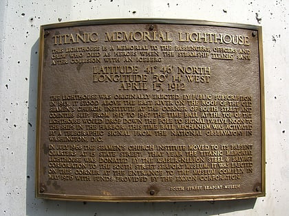
The Great Saunter, New York City
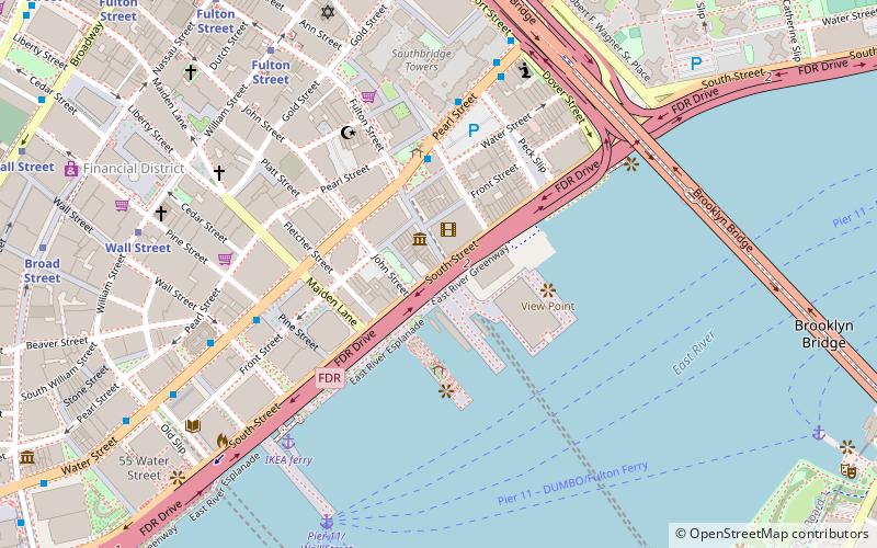
Map
Facts and practical information
The Great Saunter is a daylong hike that explores Manhattan’s 32-mile shoreline, visiting more than 20 parks and promenades of Manhattan Island. Manhattan's waterfront rim has evolved since Shorewalkers Inc. a nonprofit environmental and walking group, began fighting for a public shoreline walkway in 1982. Now the path is nearly contiguous. The Saunter takes place on the first Saturday in May, recognized by the NYC as Great Saunter Day. ()
Coordinates: 40°42'22"N, 74°0'12"W
Address
Downtown Manhattan (Financial District)New York City
ContactAdd
Social media
Add
Day trips
The Great Saunter – popular in the area (distance from the attraction)
Nearby attractions include: South Street Seaport, Brooklyn Banks, South Street Seaport Museum, 375 Pearl Street.
Frequently Asked Questions (FAQ)
Which popular attractions are close to The Great Saunter?
Nearby attractions include South Street Seaport Museum, New York City (1 min walk), South Street Seaport, New York City (1 min walk), Imagination Playground, New York City (2 min walk), 170–176 John Street, New York City (2 min walk).
How to get to The Great Saunter by public transport?
The nearest stations to The Great Saunter:
Bus
Ferry
Metro
Bus
- Pearl St & Fulton St • Lines: M15, M15-Sbs (4 min walk)
- Water St & Wall St • Lines: M15, M15-Sbs (6 min walk)
Ferry
- Pier 11/Wall Street Terminal (8 min walk)
- Whitehall • Lines: Sif (17 min walk)
Metro
- Fulton Street • Lines: 2, 3, 4, 5, A, C, J, Z (10 min walk)
- Wall Street • Lines: 2, 3, 4, 5 (10 min walk)
 Subway
 Manhattan Buses


