Gunnison Valley, Manti-La Sal National Forest

Map
Facts and practical information
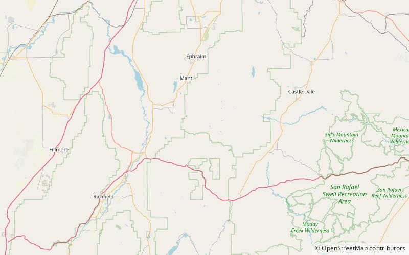
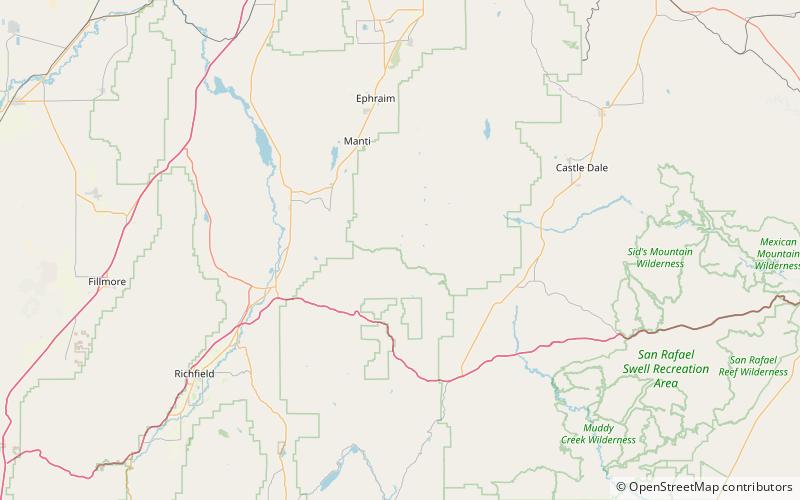
Gunnison Valley, is a valley that heads in Sanpete County, at 39°03′46″N 111°32′26″W and whose mouth is in Sevier County, Utah. ()
Coordinates: 39°3'46"N, 111°32'28"W
Address
Manti-La Sal National Forest
ContactAdd
Social media
Add
Day trips
Gunnison Valley – popular in the area (distance from the attraction)
Nearby attractions include: White Mountain.
