Powderhouse Hill, South Berwick
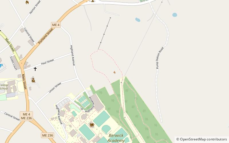
Map

Map

Facts and practical information
Powderhouse Hill is a community ski area owned by the Town of South Berwick, Maine and operated by the all-volunteer Powderhouse Ski Club. It consist of one rope tow, and three trails: 2 intermediate and 1 beginner. Powderhouse Hill has no snowmaking thus its operation relies completely on natural snow. ()
Base elevation: 120 ftTop elevation: 240 ftCoordinates: 43°14'2"N, 70°48'7"W
Day trips
Powderhouse Hill – popular in the area (distance from the attraction)
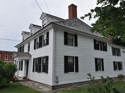
Nearby attractions include: Salmon Falls Mill Historic District, Sarah Orne Jewett House, Rollinsford Town Hall, Jewett-Eastman House.
Frequently Asked Questions (FAQ)
Which popular attractions are close to Powderhouse Hill?
Nearby attractions include Sarah Orne Jewett House, South Berwick (8 min walk), Jewett-Eastman House, South Berwick (10 min walk), Portsmouth Company Cotton Mills: Counting House, South Berwick (18 min walk), Salmon Falls Mill Historic District, South Berwick (21 min walk).


