Clover Falls, Umpqua National Forest

Map
Facts and practical information
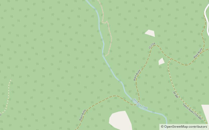
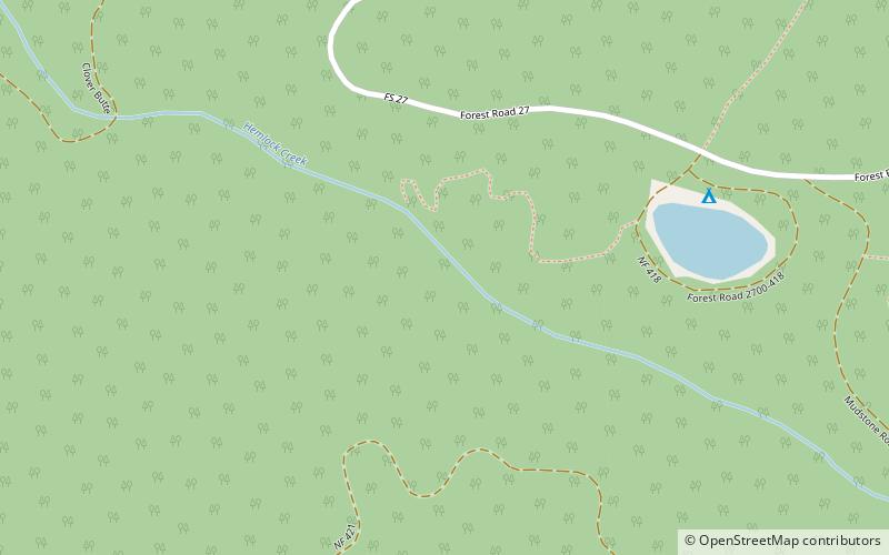
Clover Falls, also known in the past as Upper Hemlock Falls, is a waterfall from the Hemlock Creek, in the heart of the Umpqua National Forest, just north of Hemlock Lake and its campground, in Douglas County, Oregon. Access to Clover Falls is from the Lake of the Woods campground. The waterfall is located in a privileged natural area where the river creates several waterfalls; Hemlock Falls, Yakso Falls, and Tributary Falls are within a mile distance. ()
Width: 10 ftHeight: 40 ftCoordinates: 43°12'22"N, 122°42'58"W
Address
Umpqua National Forest
ContactAdd
Social media
Add
Day trips
Clover Falls – popular in the area (distance from the attraction)
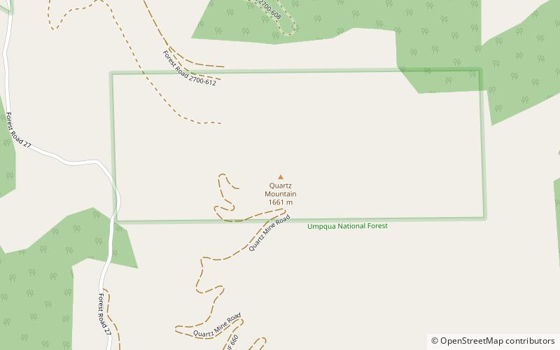
Nearby attractions include: Yakso Falls, Hemlock Falls, Quartz Mountain.


