Rockport Historic District, Rockport
Map
Map

Facts and practical information
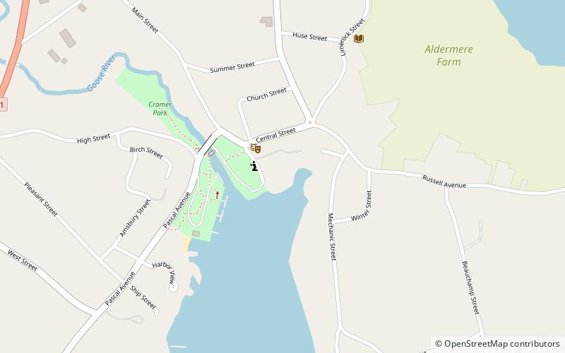
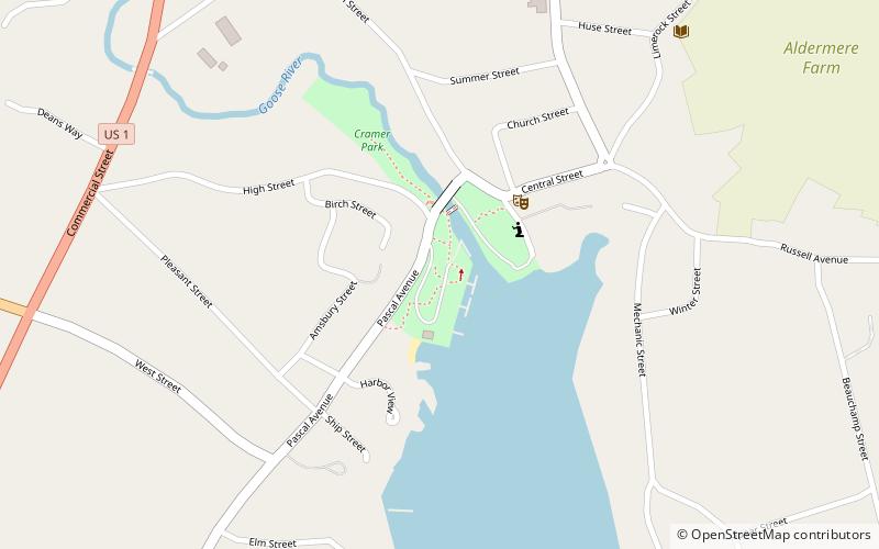
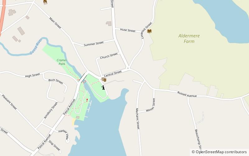
The Rockport Historic District encompasses the historic town center of Rockport, Maine. Arrayed around the head of its harbor, the town's most significant period of development was in the mid 19th century, because of lime processing and other industries. The town has a well-preserved collection of Greek Revival and Italianate architecture from that period. The district was listed on the National Register of Historic Places in 1976. ()
Area: 70 acres (0.1094 mi²)Coordinates: 44°11'15"N, 69°4'16"W
Address
Rockport
ContactAdd
Social media
Add
Day trips
Rockport Historic District – popular in the area (distance from the attraction)
Nearby attractions include: Curtis Island Light, Center for Maine Contemporary Art, Chestnut Street Historic District, Ralston Gallery.
Frequently Asked Questions (FAQ)
Which popular attractions are close to Rockport Historic District?
Nearby attractions include Center for Maine Contemporary Art, Rockport (2 min walk), Ralston Gallery, Rockport (3 min walk), Rockport Historic Kiln Area, Rockport (5 min walk), Vesper Hill Children's Chapel, Rockport (24 min walk).


