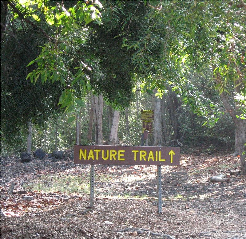
Manuka State Wayside Park, Ka'u

Gallery (2)
Map
Map
Gallery
Facts and practical information
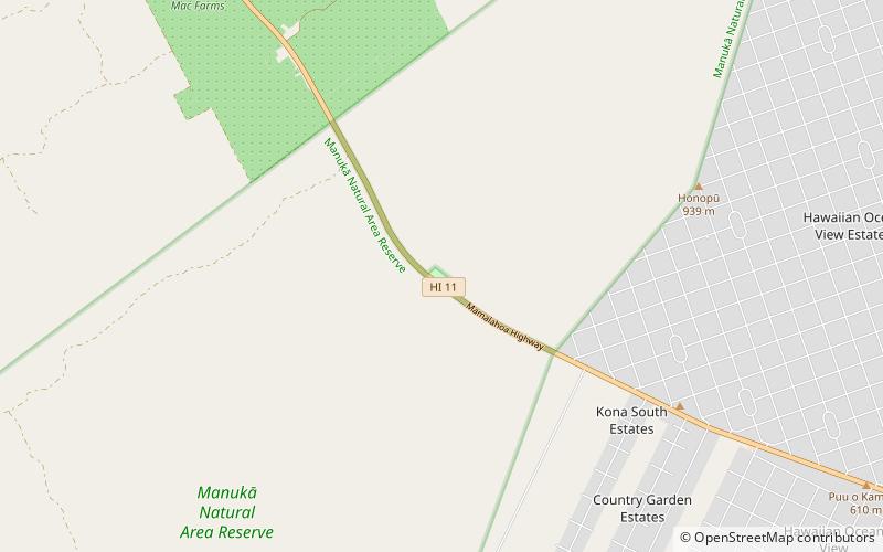
The Manuka State Wayside Park is a state park of 13.4 acres with an arboretum located approximately 19 miles west of Naʻalehu, on the Mamalahoa Highway section of the Hawaii Belt Road, on the island of Hawaii, Hawaii, coordinates 19°6′33″N 155°49′33″W ()
Elevation: 1824 ft a.s.l.Coordinates: 19°6'35"N, 155°49'30"W