Apalachicola Historic District, Apalachicola
Map

Map

Facts and practical information
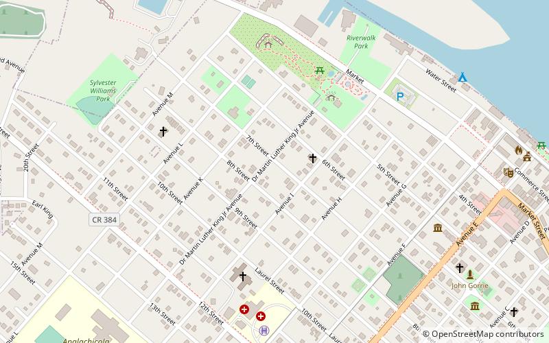
The Apalachicola Historic District is a U.S. historic district in Apalachicola, Florida. It is bounded by the Apalachicola River, Apalachicola Bay, 17th and Jefferson Streets, encompasses approximately 4600 acres, and contains 652 historic buildings. On November 21, 1980, it was added to the U.S. National Register of Historic Places. ()
Built: 1836 (190 years ago)Coordinates: 29°43'42"N, 84°59'31"W
Address
Apalachicola
ContactAdd
Social media
Add
Day trips
Apalachicola Historic District – popular in the area (distance from the attraction)
Nearby attractions include: Orman House, Apalachicola Maritime Museum, John Gorrie Museum State Park, David G. Raney House.
Frequently Asked Questions (FAQ)
Which popular attractions are close to Apalachicola Historic District?
Nearby attractions include Orman House, Apalachicola (5 min walk), Apalachicola Museum of Art, Apalachicola (9 min walk), David G. Raney House, Apalachicola (10 min walk), John Gorrie Museum State Park, Apalachicola (11 min walk).


