Mormon Pioneer National Heritage Area, Manti
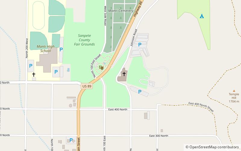
Map

Map

Facts and practical information
The Mormon Pioneer National Heritage Area recognizes and commemorates the efforts of Mormon pioneers who made the trek westward, settling Utah and the American West. Spanning a 400-mile area along U.S. Highway 89, Utah State Route 24 and Utah State Route 12 – an All American Road – the MPNHA encompasses five unique districts, each with its own distinct history and landmarks. ()
Coordinates: 39°16'23"N, 111°38'2"W
Day trips
Mormon Pioneer National Heritage Area – popular in the area (distance from the attraction)
Nearby attractions include: Manti Utah Temple, Palisade State Park, Pioneer Heritage Gardens, Manti Presbyterian Church.
Frequently Asked Questions (FAQ)
Which popular attractions are close to Mormon Pioneer National Heritage Area?
Nearby attractions include Manti Utah Temple, Manti (1 min walk), Pioneer Heritage Gardens, Manti (2 min walk), Manti Presbyterian Church, Manti (21 min walk).


