Burnt Lake, Mount Hood
#2 among attractions in Mount Hood

Facts and practical information
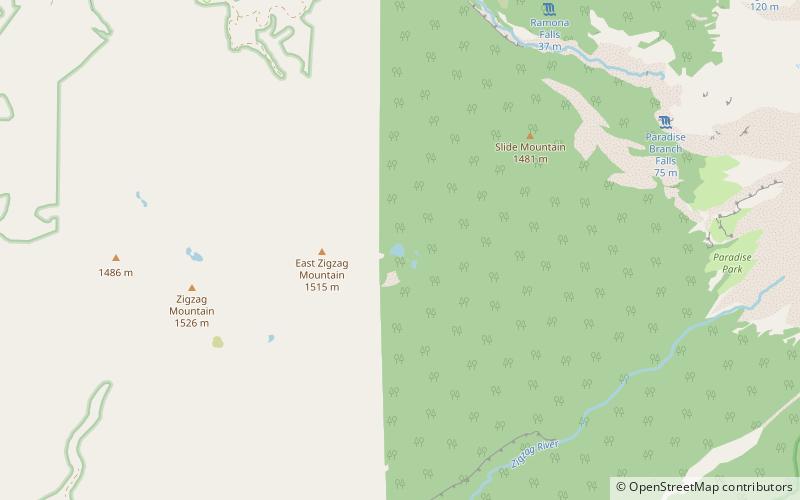
Burnt Lake is a lake in the Mount Hood National Forest in Oregon, United States. It is in the Sandy River watershed. ()
Mount Hood United States
Burnt Lake – popular in the area (distance from the attraction)
Nearby attractions include: Timberline Lodge ski area, Mount Hood Skibowl, Summit Pass, Ramona Falls.
 Winter sport, Ski area
Timberline Lodge ski area, Government Camp
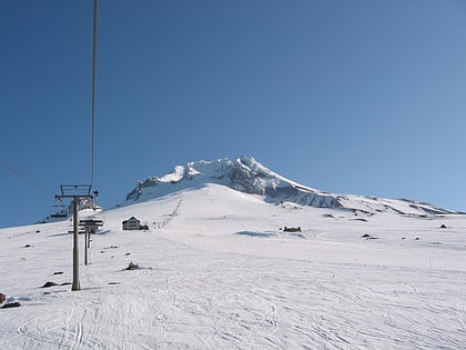
120 min walk • Timberline Lodge ski area is the ski and snowboarding area of Timberline Lodge, a National Historic Landmark in the U.S. state of Oregon. It is one of a few ski areas in the United States with most of the skiable terrain below the main lodge.
 Winter sport, Ski area
Mount Hood Skibowl, Mount Hood National Forest
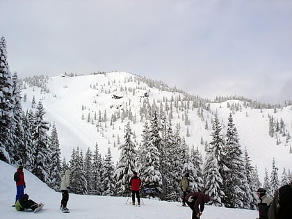
102 min walk • Mount Hood Skibowl is a recreation area on Mount Hood located near Government Camp, Oregon. It is the largest night ski area in the United States, and the total skiable area encompasses an area of 960 acres.
 Winter sport, Ski area
Summit Pass, Mount Hood National Forest
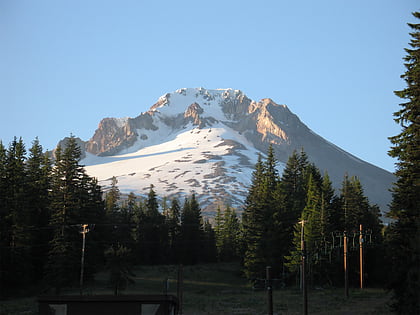
108 min walk • Summit Pass is a small ski area located on Mount Hood, alongside the Mount Hood Highway in Government Camp, Oregon. Built in 1927, it is the oldest ski area in the Pacific Northwest. In addition to downhill skiing and snowboarding, Summit also offers snow tubing and Nordic trails.
 Natural attraction, Waterfall
Ramona Falls, Mount Hood
61 min walk • Ramona Falls is a waterfall on the upper Sandy River on the west side of Mount Hood, Oregon, United States. It is located in forest along the Pacific Crest Trail at an elevation of 3,560 feet.
 Natural attraction, Lake, Hiking trail
Mirror Lake, Mount Hood National Forest
96 min walk • Mirror Lake is a mountain lake in Clackamas County of the U.S. state of Oregon. It is located at the foot of Tom Dick and Harry Mountain in a natural catchment formed by a toe of the mountain, 11.4 kilometres southwest of Mount Hood, and 3.1 kilometres WSW of Government Camp within Mount Hood National Forest.
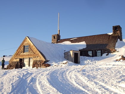 Hiking, View point, Alpine hut
Silcox Hut, Mount Hood National Forest
116 min walk • The Silcox Hut is a small rustic mid-mountain lodge located at 6,950 feet elevation on Mount Hood, Oregon, United States. It is approximately 1,000 feet vertical above Timberline Lodge and roughly one mile distance directly up the mountain.
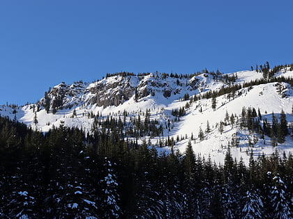 Nature, Natural attraction, Volcano
Tom Dick and Harry Mountain, Mount Hood National Forest
109 min walk • Tom Dick and Harry Mountain is a two-mile-long volcanic mountain in Clackamas County in the U.S. state of Oregon. It is located 7.2 miles southwest of Mount Hood, 1.9 miles west-southwest of Government Camp between the Zigzag River and Still Creek, south of Zigzag Mountain.
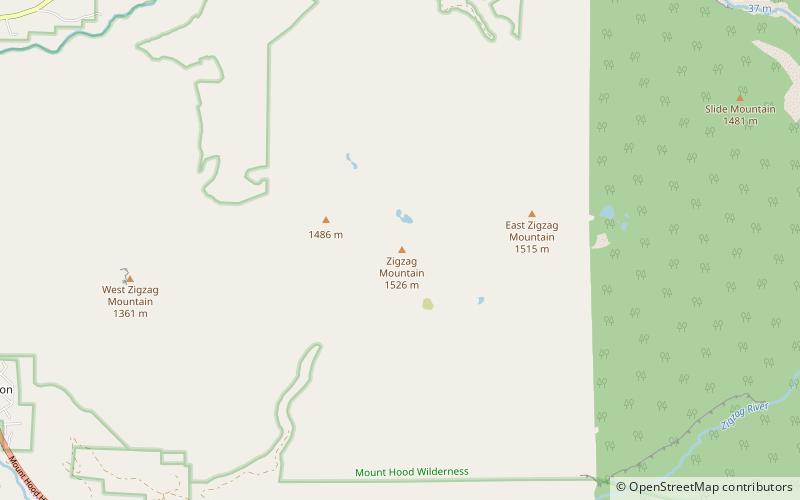 Natural attraction, Volcano
Zigzag Mountain, Mount Hood
46 min walk • Zigzag Mountain is a volcanic mountain in Clackamas County in the U.S. state of Oregon. It is located 7.1 miles west-southwest of Mount Hood, 5.2 miles northwest of Government Camp, 5.3 miles east of Zigzag, and north of the Zigzag River.
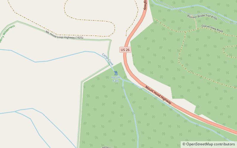 Nature, Natural attraction, Waterfall
Yocum Falls, Mount Hood National Forest
78 min walk • Yocum Falls, is a waterfall located in the heart of the Mount Hood National Forest, in Clackamas County, in the U.S. state of Oregon.
 45°18'13"N • 121°45'11"W
Mt Hood Cultural Center & Museum, Government Camp
104 min walk • Specialty museum, History museum, Museum
 Nature, Natural attraction, Waterfall
Little Zigzag River, Mount Hood Wilderness
106 min walk • The Little Zigzag River is a tributary, about 5 miles long, of the Zigzag River in the U.S. state of Oregon. The Zigzag and Little Zigzag drain the Zigzag Glacier on Mount Hood, a high volcanic peak in the Cascade Range.
