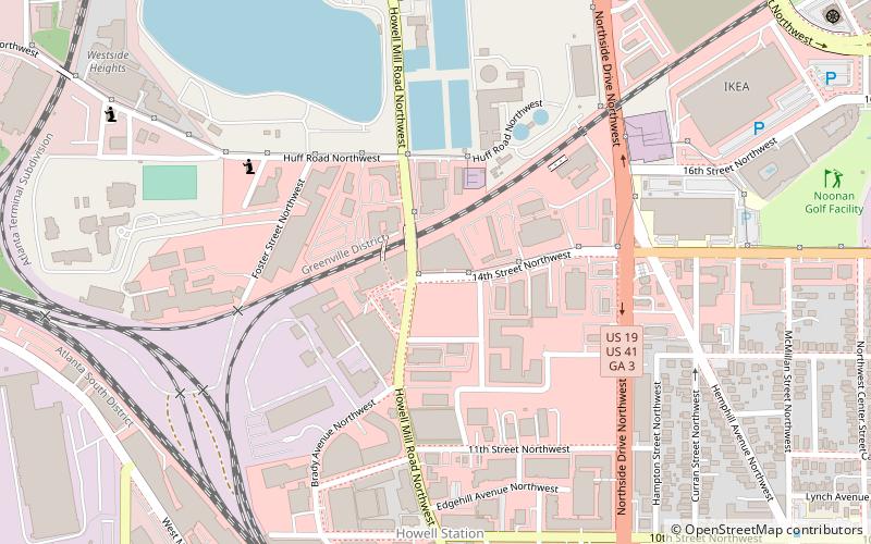
West Midtown, Atlanta
Map

Gallery

Facts and practical information
West Midtown, also known as Westside, is a colloquial area, comprising many historical neighborhoods located in Atlanta, Georgia. Once largely industrial, West Midtown is now the location of urban lofts, art galleries, live music venues, retail and restaurants. ()
Coordinates: 33°47'9"N, 84°24'40"W
Address
Northeast Atlanta (Home Park)Atlanta
ContactAdd
Social media
Add
Day trips
West Midtown – popular in the area (distance from the attraction)
Nearby attractions include: Atlantic Station, Bobby Dodd Stadium, McCamish Pavilion, Millennium Gate Museum.
Frequently Asked Questions (FAQ)
Which popular attractions are close to West Midtown?
Nearby attractions include Westside Provisions, Atlanta (3 min walk), Howell Interlocking Historic District, Atlanta (7 min walk), The Goat Farm, Atlanta (8 min walk), Patchwerk Recording Studios, Atlanta (8 min walk).
How to get to West Midtown by public transport?
The nearest stations to West Midtown:
Metro
Train
Bus
Metro
- Bankhead • Lines: Green (36 min walk)
Train
- Atlanta (37 min walk)
Bus
- Village Smoke • Lines: Blue Route (40 min walk)


