Martial Cottle Park, San Jose
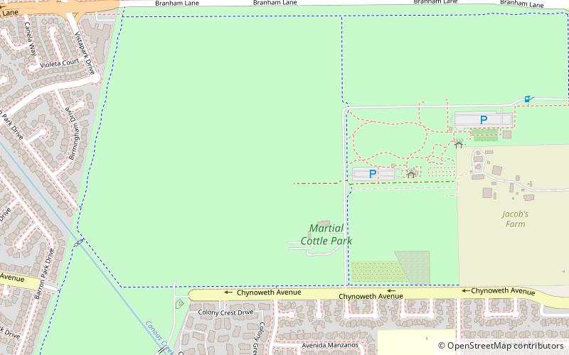
Map

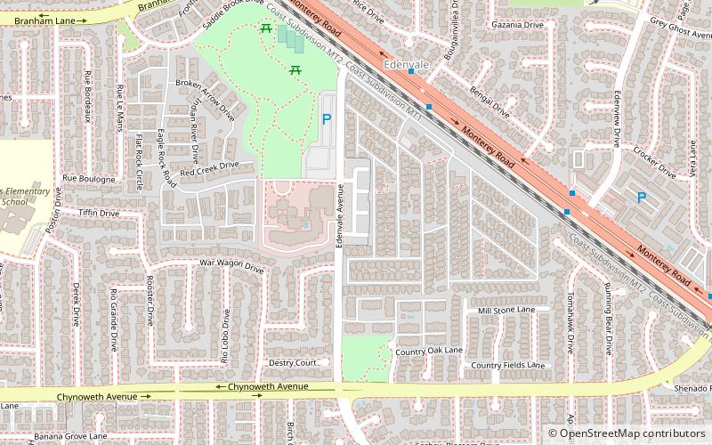
Map

Facts and practical information
Martial Cottle Park is an upcoming park which is being developed as a collaboration between the California Department of Parks and Recreation and Santa Clara County Parks. The park is located on 287.54 acres of land in the city of San Jose, California, U.S. ()
Elevation: 161 ft a.s.l.Coordinates: 37°15'42"N, 121°50'24"W
Day trips
Martial Cottle Park – popular in the area (distance from the attraction)
Nearby attractions include: Hayes Mansion, Jacobs Farm at Martial Cottle Park, Edenvale, Tradewinds HOA.
Frequently Asked Questions (FAQ)
How to get to Martial Cottle Park by public transport?
The nearest stations to Martial Cottle Park:
Bus
Light rail
Bus
- Snell Avenue & Obert Drive • Lines: 66 (13 min walk)
- Skyway Drive & Silverberry Drive • Lines: 66 (17 min walk)
Light rail
- Blossom Hill • Lines: Blue (16 min walk)
- Snell • Lines: Blue (28 min walk)


