Standhope Peak, Salmon–Challis National Forest

Gallery (1)
Map
Map
Facts and practical information
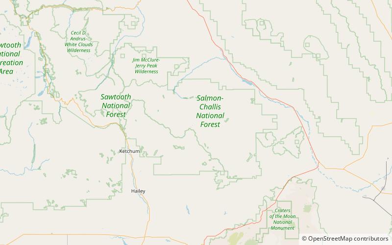
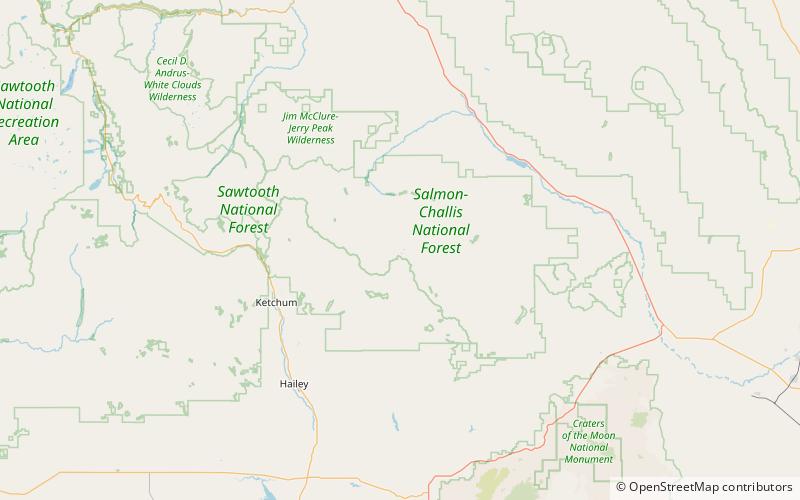
Standhope Peak, at 11,878 feet above sea level is the fourth highest peak in the Pioneer Mountains of Idaho. The peak is located in Salmon-Challis National Forest and Custer County. It is the 20th highest peak in Idaho and about 0.75 mi northeast of Peak 11,887 and 1 mi southwest of Altair Peak. ()
Elevation: 11878 ftProminence: 468 ftCoordinates: 43°47'5"N, 114°1'30"W
Address
Salmon–Challis National Forest
ContactAdd
Social media
Add
Day trips