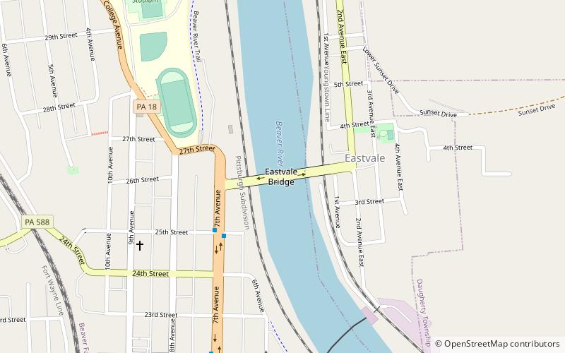
Eastvale Bridge, Beaver Falls
Map

Map

Facts and practical information
The Eastvale Bridge is a bridge that carries PA Route 588 over the Beaver River between the borough of Eastvale, and the city of Beaver Falls, Pennsylvania. The bridge opened in Beaver County on November 22, 1963, the day President John F. Kennedy was assassinated. The bridge was named in his honor. Today, it is commonly known as the Eastvale Bridge, or the "Blue" Bridge by Geneva College students, who have a sweeping view of the bridge in the neighborhood of College Hill. ()
Coordinates: 40°45'59"N, 80°19'2"W
Address
Beaver FallsBeaver Falls
ContactAdd
Social media
Add
Day trips
Eastvale Bridge – popular in the area (distance from the attraction)
Nearby attractions include: Fallston Bridge, Monaca–East Rochester Bridge, Merrick Art Gallery, Carnegie Free Library of Beaver Falls.


