Y-Bridge, Zanesville
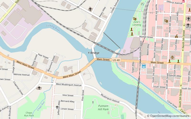
Map
Gallery
Facts and practical information
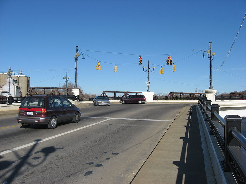
The Zanesville Y-Bridge is a historic Y-shaped three-way bridge that spans the confluence of the Licking and Muskingum Rivers in downtown Zanesville, Ohio. It carries the traffic of U.S. Route 40, as well as Linden Avenue. ()
Built: 1902 (124 years ago)Coordinates: 39°56'25"N, 82°0'51"W
Address
Zanesville
ContactAdd
Social media
Add
Day trips
Y-Bridge – popular in the area (distance from the attraction)
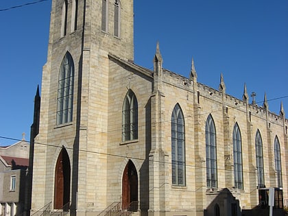
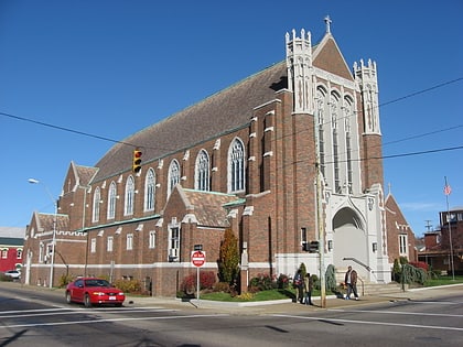
Nearby attractions include: St. Thomas Aquinas Church, Muskingum County Courthouse, St. John's Lutheran Church, St. James Episcopal Church.
Frequently Asked Questions (FAQ)
Which popular attractions are close to Y-Bridge?
Nearby attractions include Muskingum County Courthouse, Zanesville (10 min walk), St. Thomas Aquinas Church, Zanesville (12 min walk), St. James Episcopal Church, Zanesville (14 min walk), St. John's Lutheran Church, Zanesville (15 min walk).
How to get to Y-Bridge by public transport?
The nearest stations to Y-Bridge:
Bus
Bus
- SEAT Bus Terminal (6 min walk)

