Downtown Baltimore, Baltimore
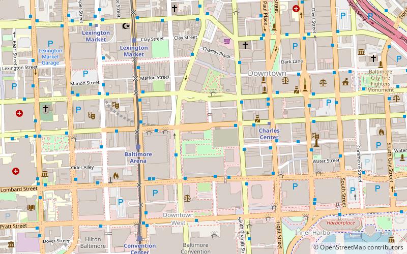
Map
Gallery

Facts and practical information
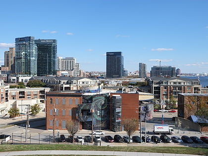
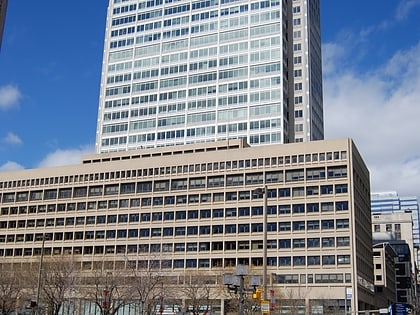
Downtown Baltimore is the central business district of the city of Baltimore traditionally bounded by Martin Luther King, Jr. Boulevard to the west, Franklin Street to the north, President Street to the east and the Inner Harbor area to the south. ()
Coordinates: 39°17'22"N, 76°37'0"W
Address
Central Baltimore (Downtown Baltimore)Baltimore
ContactAdd
Social media
Add
Day trips
Downtown Baltimore – popular in the area (distance from the attraction)
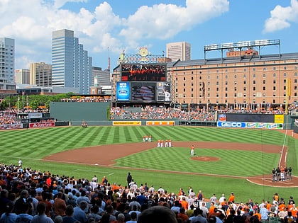
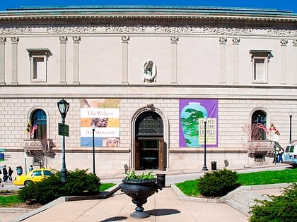
Nearby attractions include: Oriole Park at Camden Yards, Walters Art Museum, Royal Farms Arena, Baltimore Heritage Walk.
Frequently Asked Questions (FAQ)
Which popular attractions are close to Downtown Baltimore?
Nearby attractions include Mercantile Deposit and Trust, Baltimore (1 min walk), Royal Farms Arena, Baltimore (4 min walk), Baltimore Gas and Electric Company Building, Baltimore (4 min walk), 10 Light, Baltimore (4 min walk).
How to get to Downtown Baltimore by public transport?
The nearest stations to Downtown Baltimore:
Bus
Metro
Light rail
Train
Bus
- Baltimore Street & Charles Street Eastbound • Lines: 105, 120, 150, 160, 210, 215, 56, 71, 78, Or, Pr, Rd (2 min walk)
- Fayette Street Plaza Westbound • Lines: 56 (3 min walk)
Metro
- Charles Center • Lines: M (4 min walk)
- Lexington Market • Lines: M (9 min walk)
Light rail
- Baltimore Arena • Lines: Lr (4 min walk)
- Lexington Market • Lines: Lr (7 min walk)
Train
- Baltimore Camden Station (11 min walk)

