High Bridge, Coatesville
Map

Map

Facts and practical information
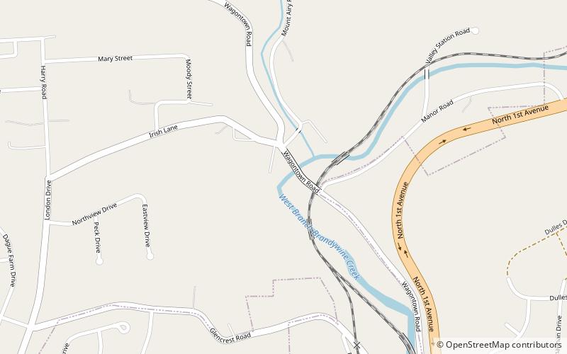
The Coatesville High Bridge is a stone masonry arch railroad viaduct that crosses the valley of the West Branch Brandywine Creek at Coatesville, Pennsylvania. Built by the Pennsylvania Railroad between 1902 and 1904, it has ten arches and spans a total length of 934 feet, with wing walls extending it to 1,287 feet. 78 feet high, the bridge was built to accommodate four standard gauge railroad tracks, with a total length of 52 feet. ()
Length: 934 ftWidth: 52 ftHeight: 78 ftCoordinates: 39°59'2"N, 75°49'39"W
Address
Coatesville
ContactAdd
Social media
Add
Day trips
High Bridge – popular in the area (distance from the attraction)
Nearby attractions include: Lukens Main Office Building, ChesLen Preserve, County Bridge No. 101, Hopewell Farm.
Frequently Asked Questions (FAQ)
Which popular attractions are close to High Bridge?
Nearby attractions include Lukens Main Office Building, Coatesville (7 min walk), Lukens Historic District, Coatesville (9 min walk), County Bridge No. 101, Coatesville (15 min walk).


