Wilderness Road State Park, Cumberland Gap National Historical Park

Gallery (3)
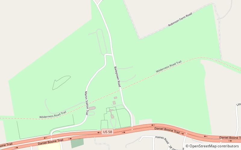
Map
Map
Gallery
Facts and practical information
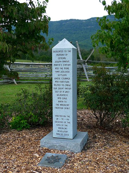
Wilderness Road State Park is a state park located in southwestern Virginia, near Cumberland Gap and Ewing, VA. It consists of about 310 acres around the former Wilderness Road. Within it stand the Karlan Mansion and a replica of the original Martin's Station fort. ()
Elevation: 1332 ft a.s.l.Coordinates: 36°37'58"N, 83°31'26"W
Address
8051 Wilderness RdCumberland Gap National Historical Park 24248-8574
Contact
+1 276-445-3065
Social media
Add
Day trips
Wilderness Road State Park – popular in the area (distance from the attraction)
Nearby attractions include: Hensley Settlement.
