Humpback Rock, Thunder Ridge Wilderness

Gallery (2)
Map
Map
Gallery
Facts and practical information
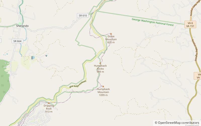
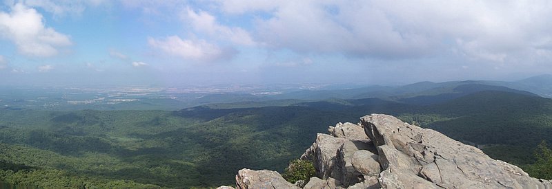
Humpback Rock is a massive greenstone outcropping near the peak of Humpback Mountain in the Blue Ridge Mountains of Augusta County and Nelson County, Virginia, United States, with a summit elevation of 3,080 feet. The rock formation is so named for the visual effect of a "hump" it creates on the western face of the mountain. ()
Elevation: 3080 ftCoordinates: 37°57'41"N, 78°54'2"W
Address
Blue Ridge ParkwayThunder Ridge Wilderness 22952
Contact
+1 828-298-0398
Social media
Add
Day trips


