Mackinaw Historic District, Franklin
Map

Map

Facts and practical information
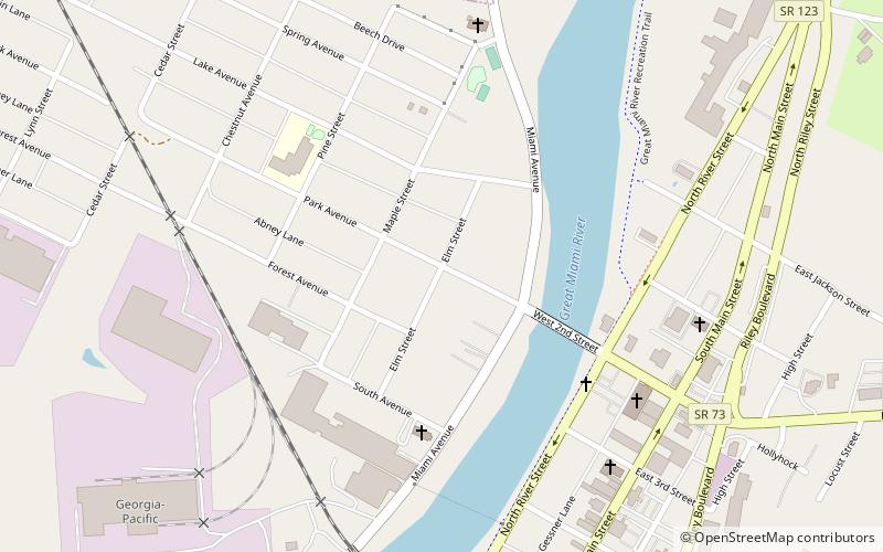
The Mackinaw Historic District is a historic residential area located on the western side of the Great Miami River in Franklin, Ohio. The historic district was added to the National Register of Historic Places in 1980. The area features homes built between 1825 and 1925 spanning numerous architectural styles, including Queen Anne and other Victorian styles. The most notable building is the Harding House, a Colonial Revival mansion in the heart of the district. ()
Coordinates: 39°33'50"N, 84°18'26"W
Day trips
Mackinaw Historic District – popular in the area (distance from the attraction)
Nearby attractions include: Dayton Mall, La Comedia Dinner Theatre, Jacob's Church, B&B Riverfront Hall.
Frequently Asked Questions (FAQ)
Which popular attractions are close to Mackinaw Historic District?
Nearby attractions include Franklin First United Methodist Church, Franklin (7 min walk), Franklin Post Office, Franklin (8 min walk).


