Alma Downtown Historic District, Alma

Map
Facts and practical information
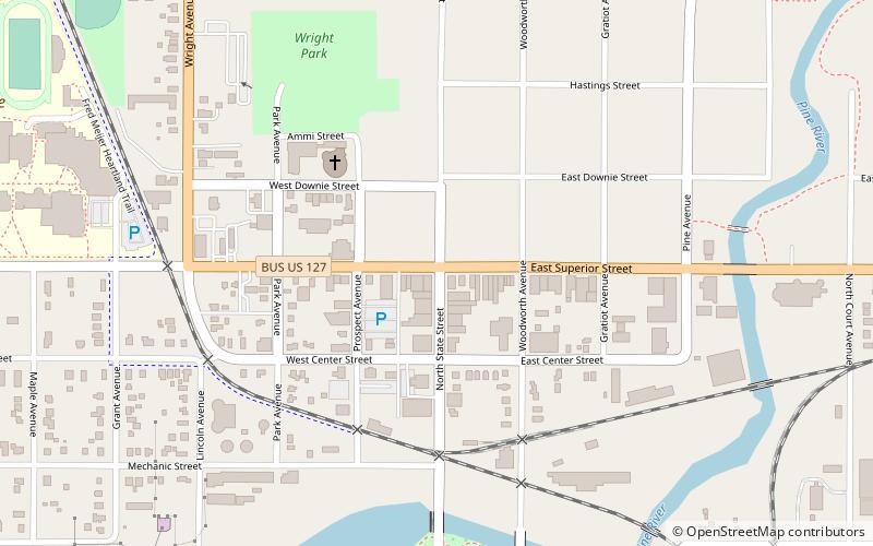
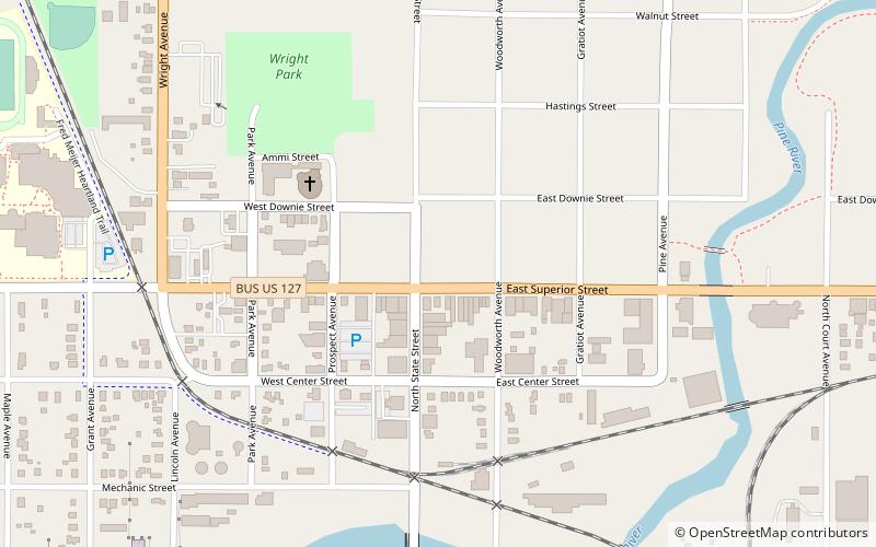
The Alma Downtown Historic District is a commercial historic district in Alma, Michigan, roughly located along Superior Street between the Pine River and Prospect Avenue, and along State Street between Center and Downie Streets. Parts of the district were designated a Michigan State Historic Site in 1975, and the entirety was listed on the National Register of Historic Places in 2013. It contains 72 structures, primarily brick commercial buildings, ranging from one to three stories in height and dating from 1874 to the 1960s. ()
Coordinates: 43°22'44"N, 84°39'43"W
Address
Alma
ContactAdd
Social media
Add
Day trips
Alma Downtown Historic District – popular in the area (distance from the attraction)
Nearby attractions include: Alma College, Holiday Park Site, Alma Public Library, Wright Opera House Block.
Frequently Asked Questions (FAQ)
Which popular attractions are close to Alma Downtown Historic District?
Nearby attractions include Wright Opera House Block, Alma (1 min walk), Alma Public Library, Alma (9 min walk), Alma College, Alma (13 min walk), Holiday Park Site, Alma (16 min walk).


