Rabbit Valley, McInnis Canyons National Conservation Area

Gallery (1)
Map
Map
Facts and practical information
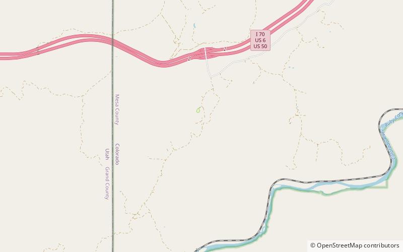
Rabbit Valley is a valley located in northwestern Mesa County, Colorado, United States. The area is generally used for paleontology, camping, hiking, mountain biking, off-road vehicle recreation, and hunting. Rabbit Valley is accessed by Interstate 70/U.S. Route 6/U.S. Route 50. ()
Coordinates: 39°10'18"N, 109°1'16"W
Address
McInnis Canyons National Conservation Area
ContactAdd
Social media
Add
Day trips
Rabbit Valley – popular in the area (distance from the attraction)
Nearby attractions include: Mee Canyon.
