Mount Peale, Manti-La Sal National Forest
Map

Map

Facts and practical information
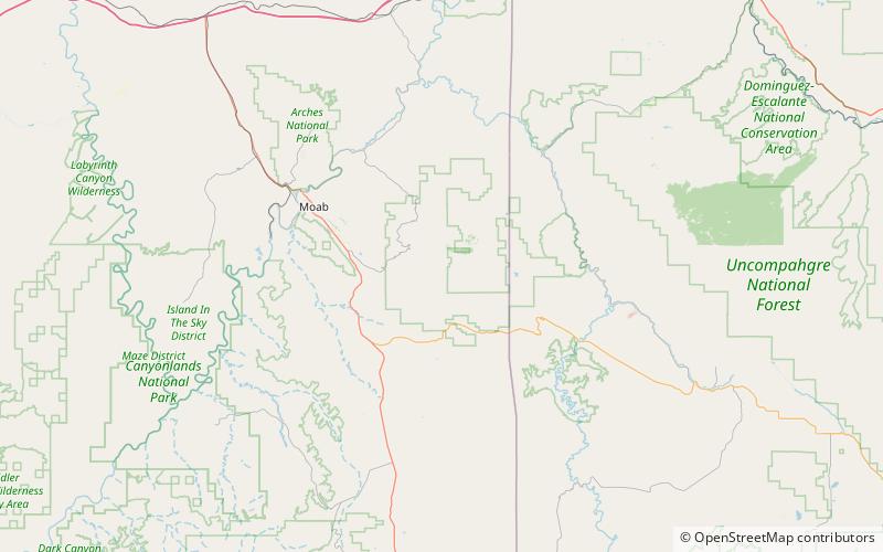
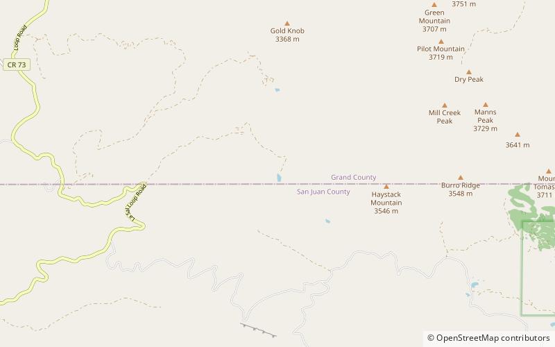
Mount Peale is the highest point in the La Sal Mountains of San Juan County, in the southeastern part of Utah, United States. It is also the highest point in Utah outside the Uinta Mountains. It is located about 20 mi southeast of Moab. The summit is the highest point in the Manti-La Sal National Forest and the Mount Peale Research Natural Area. Mount Peale was named for Albert Peale, a mineralogist on the Hayden Survey of 1875. ()
Address
Manti-La Sal National Forest
ContactAdd
Social media
Add
Day trips
Mount Peale – popular in the area (distance from the attraction)
Nearby attractions include: Oowah Lake, South Mountain, La Sal Mountains.


