Rainbow Canyon, Death Valley National Park

Map
Facts and practical information
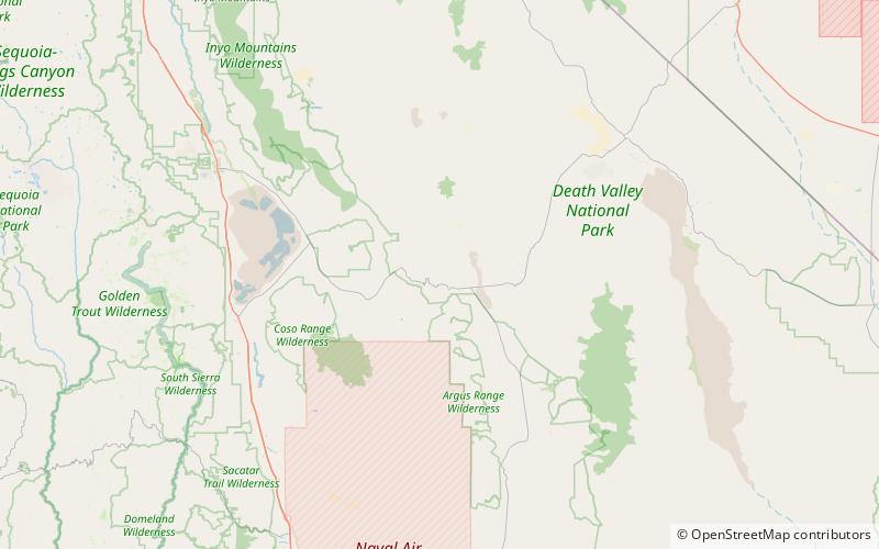
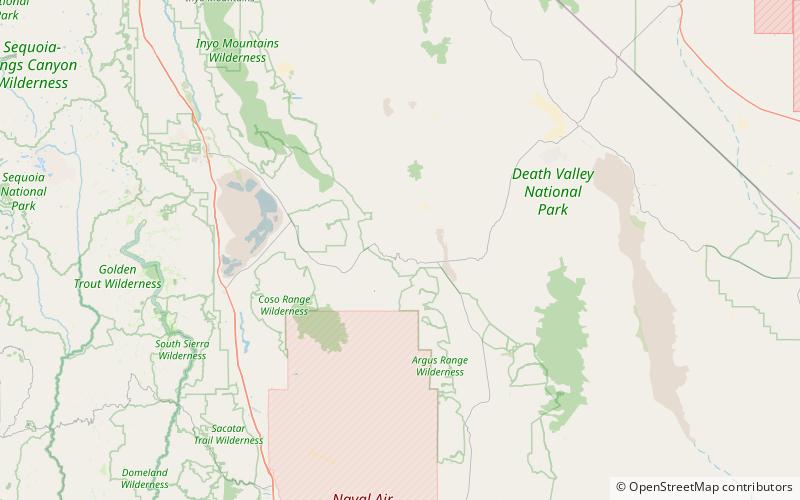
Rainbow Canyon is a canyon inside Death Valley National Park in Inyo County, California, on the park's western border. It is approximately 130 miles west of Las Vegas and 160 miles north of Los Angeles. It is commonly used by the United States Air Force and Navy for fighter jet training and is frequented by photographers who, from the canyon rim, are able to photograph jets flying beneath them. The canyon rim can be accessed from Father Crowley Overlook off California State Route 190. ()
Length: 5.5 miCoordinates: 36°21'57"N, 117°30'7"W
Day trips
Rainbow Canyon – popular in the area (distance from the attraction)
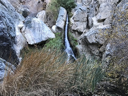
Nearby attractions include: Darwin Falls, Rainbow Canyon.

