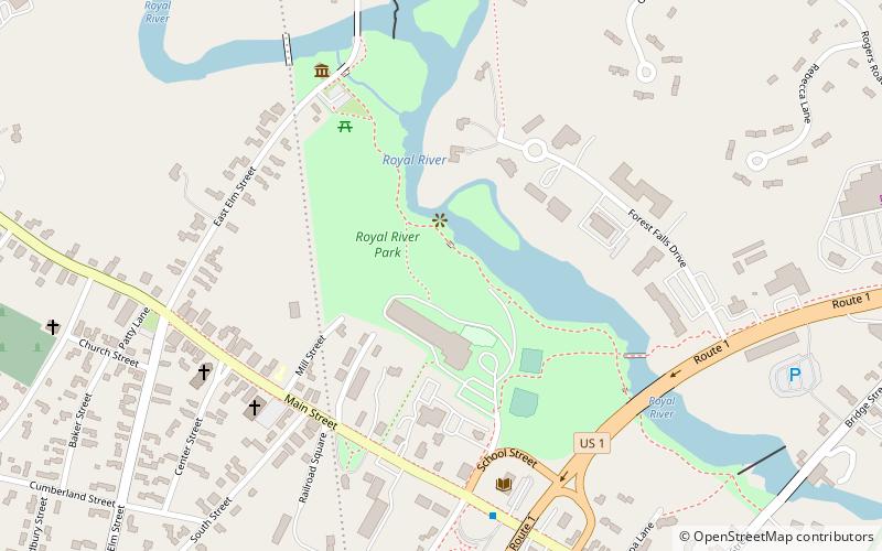
Royal River Park, Yarmouth

Map
Facts and practical information
Royal River Park is an urban park in Yarmouth, Maine, United States. It is located to the northwest of the town center, between East Elm Street to the west and Bridge Street to the east. U.S. Route 1 runs through the park via an overpass. ()
Elevation: 46 ft a.s.l.Coordinates: 43°48'15"N, 70°11'18"W
Address
Yarmouth
ContactAdd
Social media
Add
Day trips
Royal River Park – popular in the area (distance from the attraction)
Nearby attractions include: First Parish Congregational Church, Eartha, Yarmouth Boat Yard, North Yarmouth and Freeport Baptist Meetinghouse.
Frequently Asked Questions (FAQ)
Which popular attractions are close to Royal River Park?
Nearby attractions include Camp Hammond, Yarmouth (3 min walk), Merrill Memorial Library, Yarmouth (6 min walk), North Yarmouth Academy, Yarmouth (9 min walk), North Yarmouth and Freeport Baptist Meetinghouse, Yarmouth (10 min walk).
How to get to Royal River Park by public transport?
The nearest stations to Royal River Park:
Bus
Bus
- Main St + Cleaves St • Lines: Brz (7 min walk)
- Route 1 + 750 Route 1 • Lines: Brz (13 min walk)


