Arroyo Burro Beach, Santa Barbara
Map

Gallery

Facts and practical information
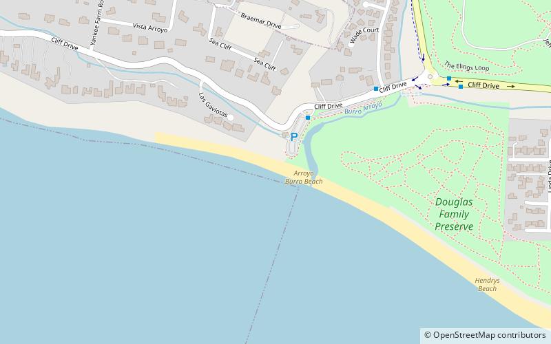
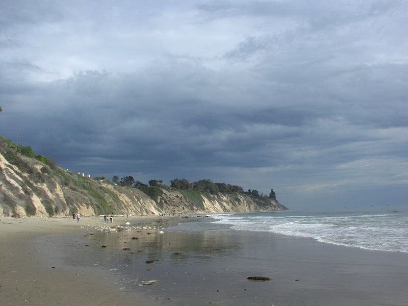
Arroyo Burro Beach, also known as Hendry's Beach by local residents, is a public beach in Santa Barbara County, California. Located off of Cliff Drive, it is the terminus of Arroyo Burro Creek, and stands at the foot of the Santa Barbara coastal bluffs of the Wilcox Property, which is adjacent to the east. The community of Hope Ranch is about 1 mi to the west. ()
Coordinates: 34°24'10"N, 119°44'38"W
Day trips
Arroyo Burro Beach – popular in the area (distance from the attraction)
Nearby attractions include: Santa Barbara Museum of Art, Karpeles Manuscript Library Museum, Shoreline Park, La Cumbre Plaza.
Frequently Asked Questions (FAQ)
Which popular attractions are close to Arroyo Burro Beach?
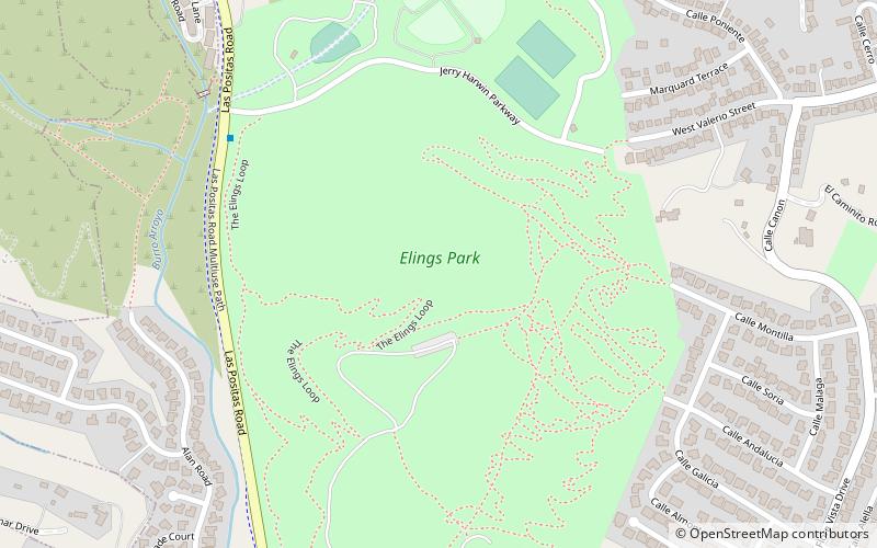
Nearby attractions include Douglas Family Preserve, Santa Barbara (16 min walk), Elings Park, Santa Barbara (19 min walk).
How to get to Arroyo Burro Beach by public transport?
The nearest stations to Arroyo Burro Beach:
Bus
Bus
- Arroyo Burro Beach • Lines: 5 (3 min walk)
- Cliff & Alan • Lines: 5 (6 min walk)


