Osher Map Library & Smith Center for Cartographic Education, Portland

Facts and practical information
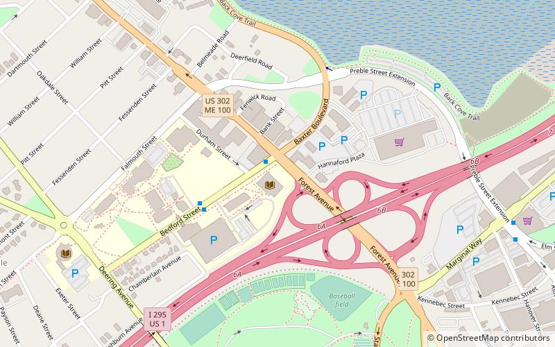
Osher Map Library & Smith Center for Cartographic Education (address: 314 Forest Ave) is a place located in Portland (Maine state) and belongs to the category of library.
It is situated at an altitude of 16 feet, and its geographical coordinates are 43°39'46"N latitude and 70°16'20"W longitude.
Planning a visit to this place, one can easily and conveniently get there by public transportation. Osher Map Library & Smith Center for Cartographic Education is a short distance from the following public transport stations: 39 (bus, 4 min walk), Portland (train, 29 min walk).
Among other places and attractions worth visiting in the area are: Albert Brenner Glickman Family Library (library, 1 min walk), University of Southern Maine (universities and schools, 5 min walk), Southworth Planetarium (museum, 6 min walk).
Osher Map Library & Smith Center for Cartographic Education – popular in the area (distance from the attraction)
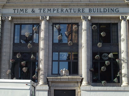
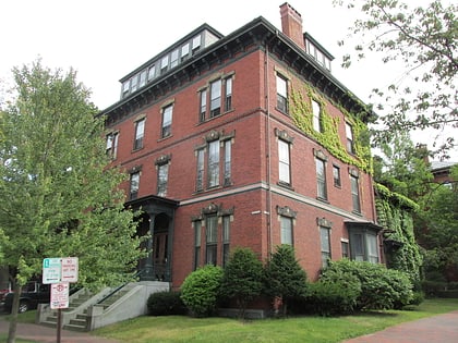
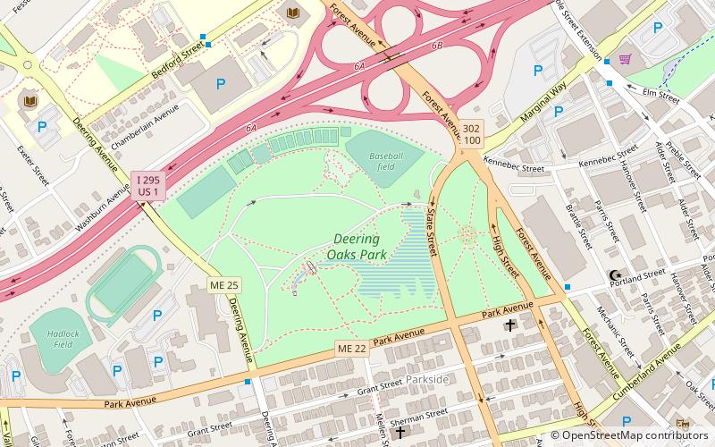
Nearby attractions include: Time and Temperature Building, Hadlock Field, Thomas Brackett Reed House, Portland Museum of Art.
Frequently Asked Questions (FAQ)
When is Osher Map Library & Smith Center for Cartographic Education open?
- Monday closed
- Tuesday 10 am - 4 pm
- Wednesday 10 am - 4 pm
- Thursday 10 am - 8 pm
- Friday 10 am - 4 pm
- Saturday 10 am - 2 pm
- Sunday closed
Which popular attractions are close to Osher Map Library & Smith Center for Cartographic Education?
How to get to Osher Map Library & Smith Center for Cartographic Education by public transport?
Bus
- 39 • Lines: Hsk (4 min walk)
Train
- Portland (29 min walk)

