Hilgard Peak, Lee Metcalf Wilderness

Gallery (1)
Map
Map
Facts and practical information
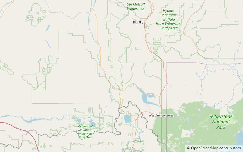
Hilgard Peak is the tallest mountain in the Madison Range in the U.S. state of Montana. The summit is located in a remote section of the Lee Metcalf Wilderness within the Beaverhead-Deerlodge National Forest. The peak was first climbed in 1948. The peak was named for E. W. Hilgard, a geology professor who served on the Hayden Expedition during its exploration of the Yellowstone area. ()
Elevation: 11321 ftProminence: 4063 ftCoordinates: 44°55'0"N, 111°27'36"W
Address
Lee Metcalf Wilderness
ContactAdd
Social media
Add
Day trips
Hilgard Peak – popular in the area (distance from the attraction)
Nearby attractions include: Madison Range.
