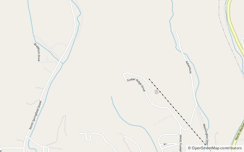
Grafton Zipline, Grafton
Map

Map

Facts and practical information
Grafton Zipline (address: 800 Timber Ridge Dr) is a place located in Grafton (Illinois state) and belongs to the category of park, relax in park.
It is situated at an altitude of 725 feet, and its geographical coordinates are 38°58'31"N latitude and 90°26'35"W longitude.
Among other places and attractions worth visiting in the area are: Grafton Bank (visitor center, 19 min walk), Grafton Historic District (interesting neighbourhood, 19 min walk), Duncan Farm, Two Rivers National Wildlife Refuge (archaeological site, 98 min walk).
Elevation: 725 ft a.s.l.Coordinates: 38°58'31"N, 90°26'35"W
Day trips
Grafton Zipline – popular in the area (distance from the attraction)
Nearby attractions include: Pere Marquette State Park, Grafton Bank, Duncan Farm, Grafton Historic District.
Frequently Asked Questions (FAQ)
Which popular attractions are close to Grafton Zipline?
Nearby attractions include Grafton Bank, Grafton (19 min walk), Grafton Historic District, Grafton (19 min walk).


