Chinatown, Tacoma
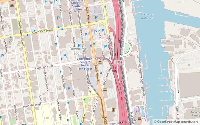
Map
Map

Facts and practical information
The U.S. city of Tacoma, Washington was once home to a significant historic Chinatown. It was located in Downtown Tacoma near Railroad Street according to a historical record. ()
Coordinates: 47°14'29"N, 122°27'32"W
Address
Central TacomaTacoma
ContactAdd
Social media
Add
Day trips
Chinatown – popular in the area (distance from the attraction)
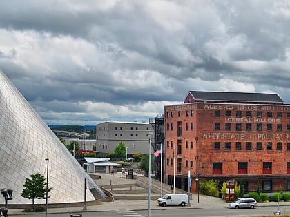
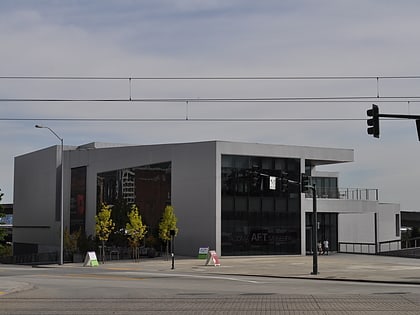
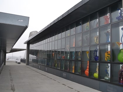
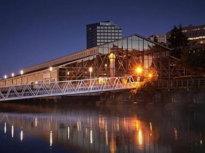
Nearby attractions include: Museum of Glass, Children's Museum of Tacoma, Tacoma Art Museum, Bridge of Glass.
Frequently Asked Questions (FAQ)
Which popular attractions are close to Chinatown?
Nearby attractions include McCarver Neighborhood, Tacoma (15 min walk), Bob's Java Jive, Tacoma (18 min walk), University of Washington Tacoma, Tacoma (24 min walk).
How to get to Chinatown by public transport?
The nearest stations to Chinatown:
Bus
Light rail
Bus
- S 19th St & S Trafton St • Lines: 2, 57 (11 min walk)
- Center St & Yakima Ave • Lines: 3 (23 min walk)
Light rail
- Union Station/South 19th Street • Lines: T (28 min walk)
- Convention Center/South 15th Street • Lines: T (29 min walk)

