Agua Caliente County Park

Gallery (4)
Map

Map
Gallery
Facts and practical information
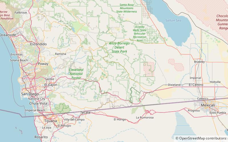
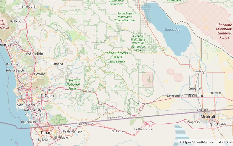
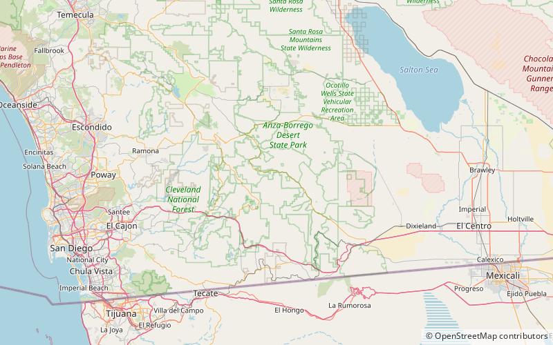
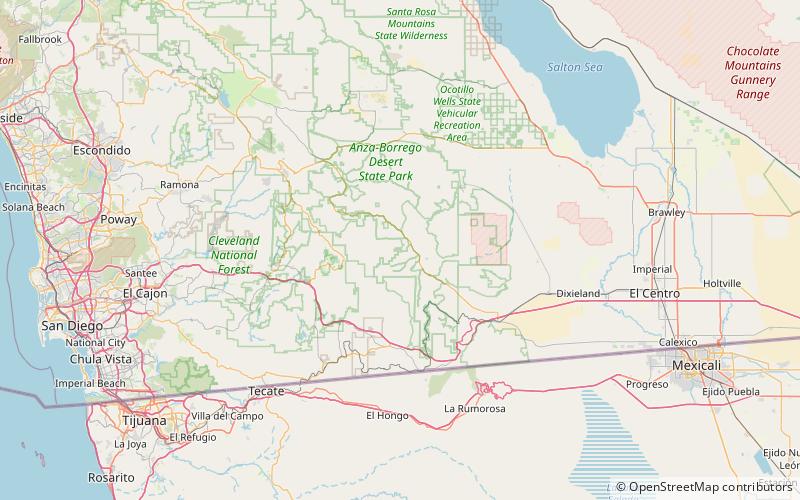
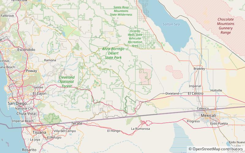
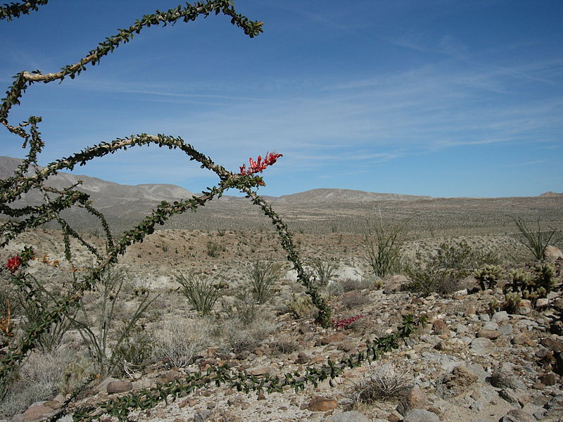
Agua Caliente County Park is a 910 acres park with geothermally heated springs. The park is located just west of Anza-Borrego Desert State Park, in eastern San Diego County, California. Agua Caliente is located about 110 miles east of downtown San Diego. Spring water feed pools include an outdoor swimming pool, an outdoor wading pool for children, and an indoor 102 °F therapeutic spa. Site amenities include a caravan area, full and partial hookup RV sites, non-hookup sites, tent camping, and cabins. Facilities include shuffle board, horseshoes, day use picnic area, and dressing rooms. 3.95 miles hiking trails from flat terrain to steep rocky trails. ()
Elevation: 1352 ft a.s.l.Coordinates: 32°56'55"N, 116°18'7"W
Day trips