Ogden Mills & Ruth Livingston Mills State Park, Albany
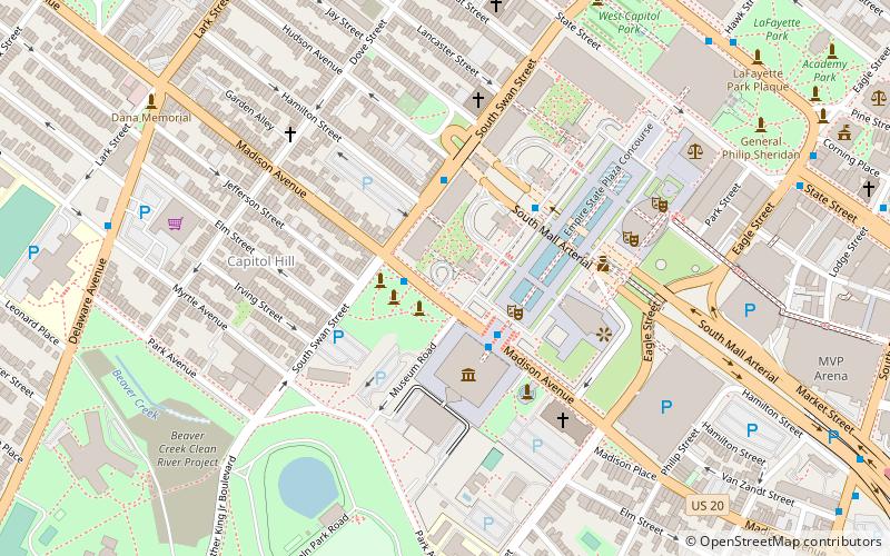
Map

Map

Facts and practical information
Ogden Mills & Ruth Livingston Mills State Park, also known as Mills Memorial State Park, is a 750-acre state park located in Staatsburg in Dutchess County, New York. It is off U.S. Route 9, between Rhinebeck to the north and Hyde Park to the south, at an elevation of 39 feet above sea level. The park is bounded by the Hudson River on the west. ()
Established: 1937 (89 years ago)Elevation: 161 ft a.s.l.Coordinates: 42°38'59"N, 73°45'44"W
Day trips
Ogden Mills & Ruth Livingston Mills State Park – popular in the area (distance from the attraction)
Nearby attractions include: New York State Capitol, Times Union Center, Statue of Philip Schuyler, The Egg Building.
Frequently Asked Questions (FAQ)
Which popular attractions are close to Ogden Mills & Ruth Livingston Mills State Park?
Nearby attractions include Empire State Plaza, Albany (1 min walk), New York State Library, Albany (3 min walk), New York State Museum, Albany (3 min walk), Erastus Corning Tower, Albany (5 min walk).
How to get to Ogden Mills & Ruth Livingston Mills State Park by public transport?
The nearest stations to Ogden Mills & Ruth Livingston Mills State Park:
Bus
Train
Bus
- Madison Ave & Empire State Plaza • Lines: 224, 540 (2 min walk)
- Core 1 • Lines: 224 (3 min walk)
Train
- Albany-Rensselaer (31 min walk)


