Lower Bear River Reservoir, Eldorado National Forest

Gallery (1)
Map
Map
Facts and practical information
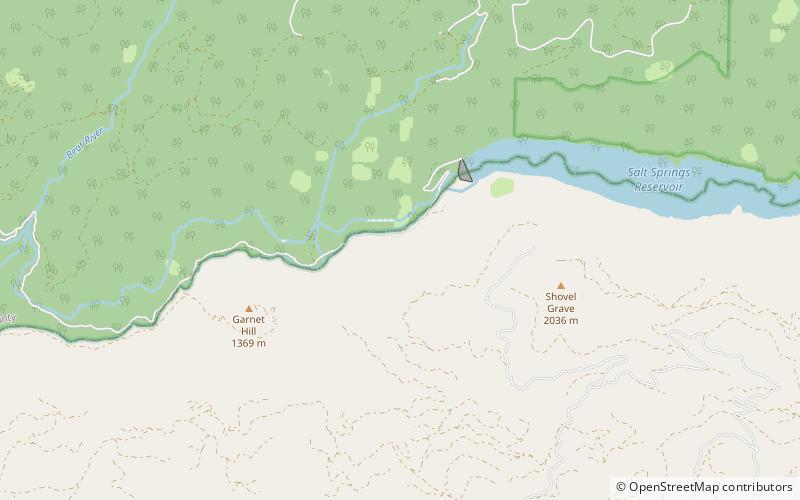
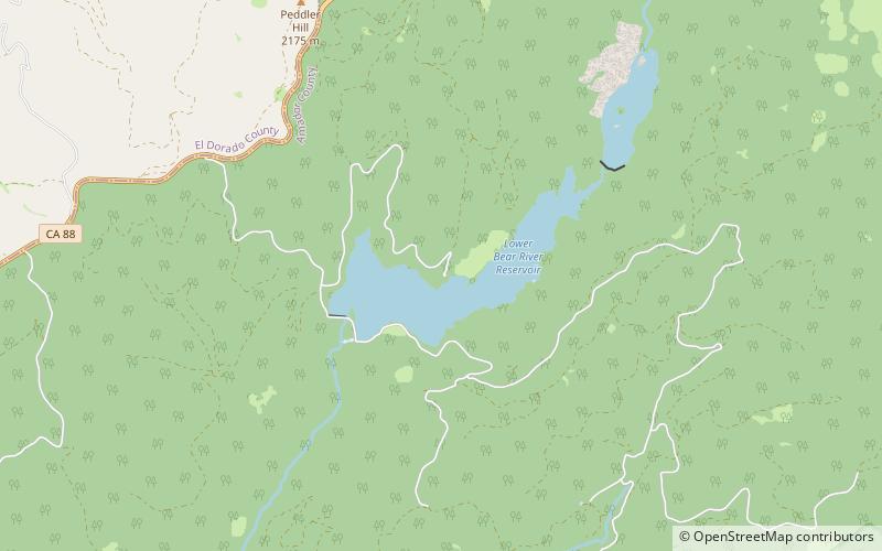
Lower Bear River Reservoir in Pioneer, California is created by its own dam, the Lower Bear River Reservoir Dam, and is owned by PG&E. The reservoir lies at 5,800 feet above sea level and covers 727 acres. ()
Coordinates: 38°32'41"N, 120°14'31"W
Address
Eldorado National Forest
ContactAdd
Social media
Add
Day trips