Beale Street, Memphis
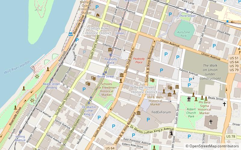
Map
Gallery
Facts and practical information
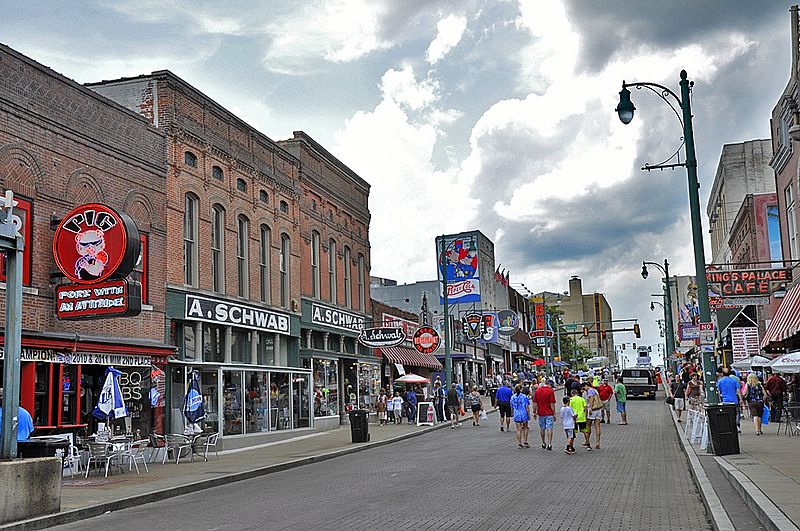
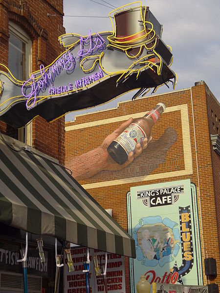
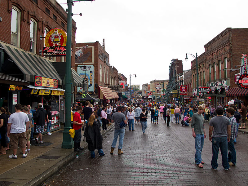
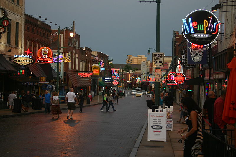
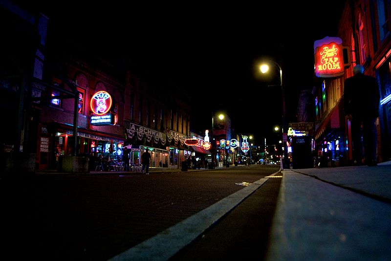
Beale Street is a street in Downtown Memphis, Tennessee, which runs from the Mississippi River to East Street, a distance of approximately 1.8 miles. It is a significant location in the city's history, as well as in the history of blues music. Today, the blues clubs and restaurants that line Beale Street are major tourist attractions in Memphis. Festivals and outdoor concerts frequently bring large crowds to the street and its surrounding areas. ()
Day trips
Beale Street – popular in the area (distance from the attraction)
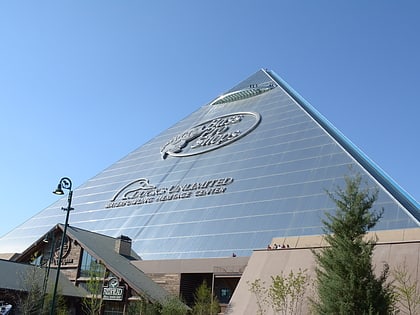
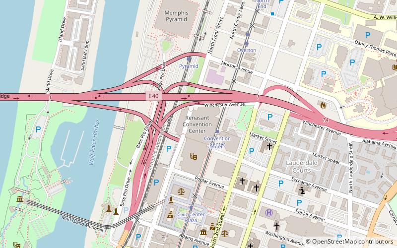
Nearby attractions include: FedExForum, National Civil Rights Museum, AutoZone Park, Pyramid Arena.
Frequently Asked Questions (FAQ)
Which popular attractions are close to Beale Street?
Nearby attractions include Memphis Rock 'n' Soul Museum, Memphis (1 min walk), A. Schwab's, Memphis (2 min walk), New Daisy Theatre, Memphis (3 min walk), Memphis Music Hall of Fame, Memphis (4 min walk).
How to get to Beale Street by public transport?
The nearest stations to Beale Street:
Tram
Train
Tram
- Beale Street • Lines: MATA Trolley Main Street Line, MATA Trolley Riverfront Loop (5 min walk)
- Peabody Place • Lines: MATA Trolley Main Street Line, MATA Trolley Riverfront Loop (6 min walk)
Train
- Memphis Central Station (18 min walk)


