Sawyer Camp Trail, San Mateo

Gallery (1)
Map
Map
Facts and practical information
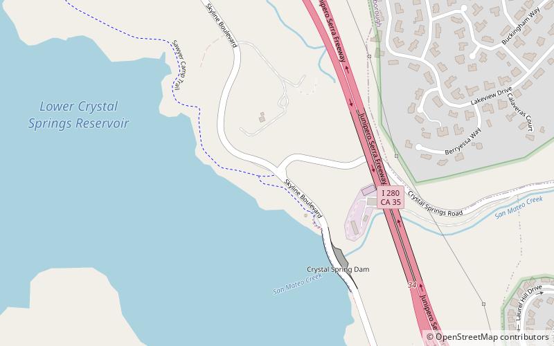
Sawyer Camp Trail (address: Skyline Blvd & Crystal Springs Rd, San Mateo, CA 94401) is a place located in San Mateo (California state) and belongs to the category of hiking, outdoor activities, park.
It is situated at an altitude of 315 feet, and its geographical coordinates are 37°31'52"N latitude and 122°21'50"W longitude.
Among other places and attractions worth visiting in the area are: Arthur and Mona Hofmann House (modernist architecture, 40 min walk), College of San Mateo (universities and schools, 40 min walk), Carolands, Marin Headlands (forts and castles, 45 min walk).
Elevation: 315 ft a.s.l.Coordinates: 37°31'52"N, 122°21'50"W
Address
Skyline Blvd & Crystal Springs Rd, San Mateo, CA 94401San Mateo
Contact
Social media
Add
Day trips


