Deer Island Light, Boston
Map

Map

Facts and practical information
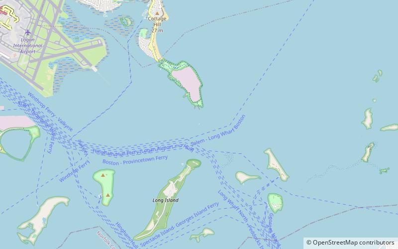
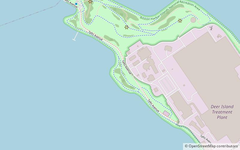
Deer Island Light is a lighthouse in Boston Harbor, Boston, Massachusetts. The actual light is 53 feet above Mean High Water. Its alternating white and red light is visible for 9 nautical miles. ()
Coordinates: 42°20'23"N, 70°57'16"W
Day trips
Deer Island Light – popular in the area (distance from the attraction)
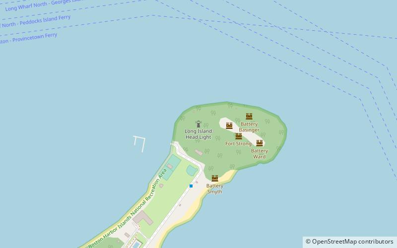
Nearby attractions include: Boston Harbor, Great Hunger Memorial, Long Island Head Light, Gallops Island.
Frequently Asked Questions (FAQ)
Which popular attractions are close to Deer Island Light?
Nearby attractions include Boston Harbor, Boston (16 min walk), Fort Strong, Boston (18 min walk), Long Island Head Light, Boston (18 min walk).

 MBTA Subway


