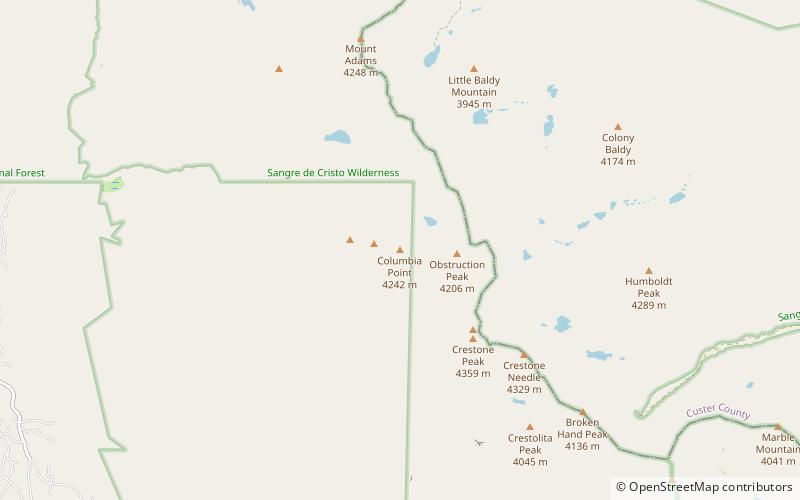
Columbia Point, Rio Grande National Forest
Map

Map

Facts and practical information
Columbia Point is a high mountain summit of the Crestones in the Sangre de Cristo Range of the Rocky Mountains of North America. The 13,986-foot thirteener is located 5.5 miles east by south of the Town of Crestone in Saguache County, Colorado, United States. The Crestones are a cluster of high summits in the Sangre de Cristo Range, comprising Crestone Peak, Crestone Needle, Kit Carson Peak, Challenger Point, Humboldt Peak, and Columbia Point. ()
Elevation: 13986 ftProminence: 360 ftCoordinates: 37°58'44"N, 105°35'53"W
Address
Rio Grande National Forest
ContactAdd
Social media
Add
Day trips
Columbia Point – popular in the area (distance from the attraction)
Nearby attractions include: Willow Lake, Crestone Needle, Kit Carson Peak, Crestone Peak.
Frequently Asked Questions (FAQ)
Which popular attractions are close to Columbia Point?
Nearby attractions include Kit Carson Peak, Rio Grande National Forest (8 min walk), Challenger Point, Rio Grande National Forest (13 min walk).


