Flint Creek Range, Beaverhead–Deerlodge National Forest

Gallery (1)
Map
Map
Facts and practical information
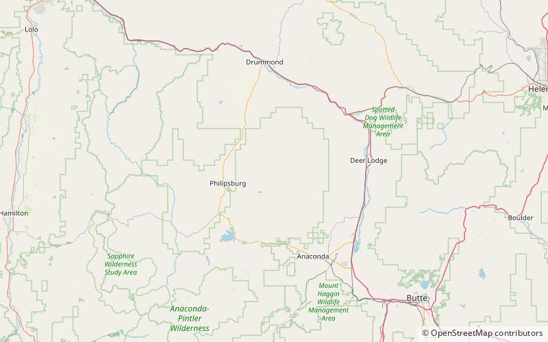
The Flint Creek Range, el. 10,168 feet, is a mountain range northeast of Philipsburg, Montana in Granite County, Montana. The highest point in the range is Mount Powell, at 10,168 ft. in elevation. ()
Maximum elevation: 10168 ftCoordinates: 46°22'0"N, 113°6'32"W
Address
Beaverhead–Deerlodge National Forest
ContactAdd
Social media
Add