Campbell's Covered Bridge, Landrum

Gallery (1)
Map
Map
Facts and practical information
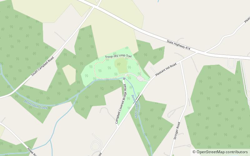
Campbell's Covered Bridge is a wooden covered bridge in northeastern Greenville County, South Carolina, near the small town of Gowensville, and crosses Beaverdam Creek off Pleasant Hill Road. ()
Completed: 1909 (117 years ago)Length: 38 ftWidth: 12 ftCoordinates: 35°5'9"N, 82°15'51"W