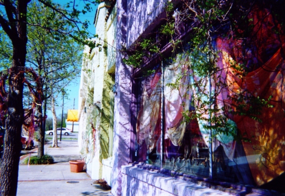
Neighborhoods of Oklahoma City, Oklahoma City
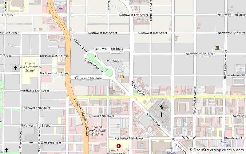
Map
Gallery
Facts and practical information
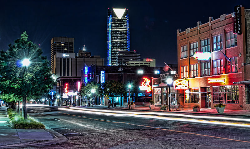
The City of Oklahoma City uses Special Zoning Districts as a tool to maintain the character of many neighborhood communities. ()
Coordinates: 35°28'56"N, 97°32'6"W
Address
Central Oklahoma City (Classen-Ten-Penn)Oklahoma City
ContactAdd
Social media
Add
Day trips
Neighborhoods of Oklahoma City – popular in the area (distance from the attraction)
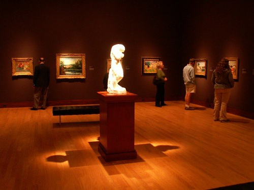
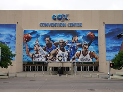
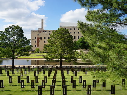
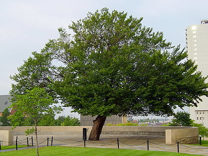
Nearby attractions include: Cox Convention Center, Oklahoma City National Memorial & Museum, Survivor Tree, Oklahoma City Museum of Art.
Frequently Asked Questions (FAQ)
Which popular attractions are close to Neighborhoods of Oklahoma City?
Nearby attractions include Blue Sage Studios - Glass Works and Gallery, Oklahoma City (9 min walk), City Presbyterian Church, Oklahoma City (12 min walk), Gaylord-Pickens Oklahoma Heritage Museum, Oklahoma City (13 min walk), First Christian Church, Oklahoma City (14 min walk).
How to get to Neighborhoods of Oklahoma City by public transport?
The nearest stations to Neighborhoods of Oklahoma City:
Tram
Bus
Tram
- Dewey Avenue • Lines: OKC Streetcar Downtown Loop (19 min walk)
- North Hudson • Lines: OKC Streetcar Downtown Loop (24 min walk)
Bus
- The Central Oklahoma Transportation and Parking Authority City Bus Terminal (28 min walk)


