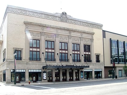
Woodbridge, Detroit
Map
Gallery
Facts and practical information
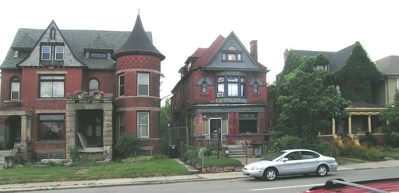
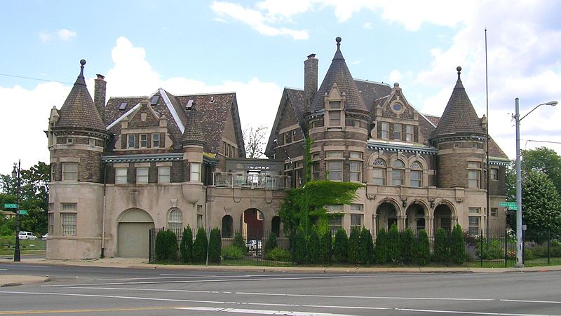
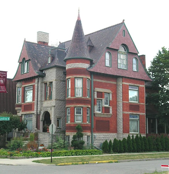
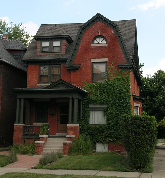
Woodbridge is a historic neighborhood of primarily Victorian homes located in Detroit, Michigan. The district was listed on the National Register of Historic Places in 1980, with later boundary increases in 1997 and 2008. In addition to its historic value, Woodbridge is also notable for being an intact neighborhood of turn-of-the-century homes within walking or biking distance of Detroit's Downtown, Midtown, New Center, and Corktown neighborhoods. ()
Coordinates: 42°20'50"N, 83°4'42"W
Day trips
Woodbridge – popular in the area (distance from the attraction)
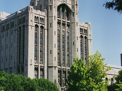
Nearby attractions include: Detroit Institute of Arts, MotorCity Casino Hotel, Museum of Contemporary Art Detroit, Masonic Temple.
Frequently Asked Questions (FAQ)
Which popular attractions are close to Woodbridge?
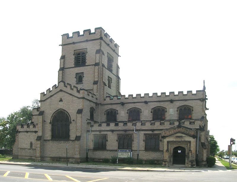
Nearby attractions include Still Point Zen Buddhist Temple, Detroit (3 min walk), Spirit of Hope, Detroit (13 min walk), Jefferson Intermediate School, Detroit (13 min walk), West Canfield Historic District, Detroit (16 min walk).
How to get to Woodbridge by public transport?
The nearest stations to Woodbridge:
Bus
Tram
Bus
- Trumbull / Canfield • Lines: 29 (3 min walk)
- Grand River / Rosa Parks • Lines: 03 (5 min walk)
Tram
- Canfield Street • Lines: QLine (24 min walk)
- Warren Avenue • Lines: QLine (26 min walk)


