Center Square/Hudson–Park Historic District, Albany
Map
Gallery
Facts and practical information
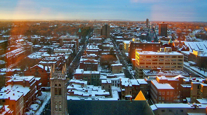
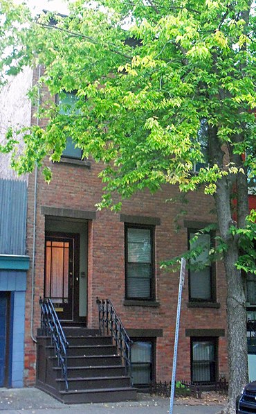
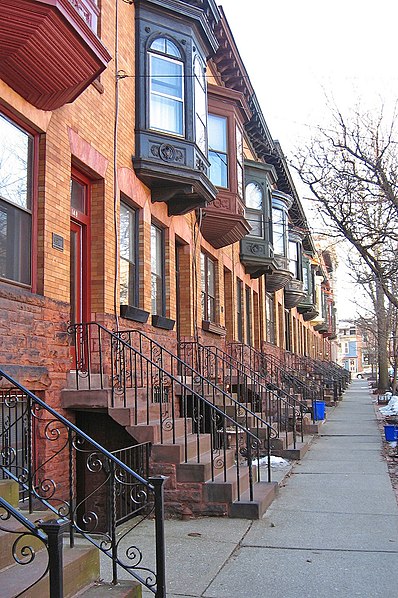
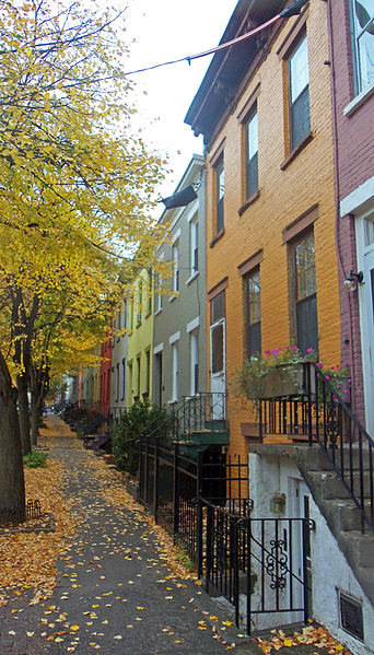
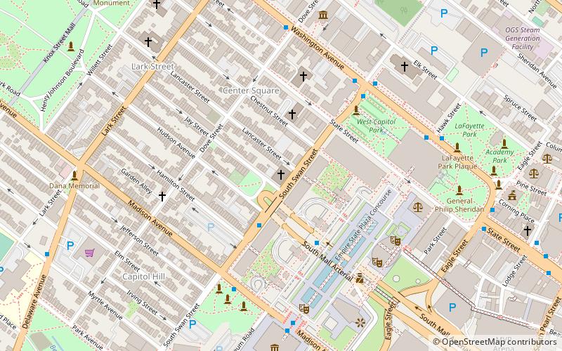
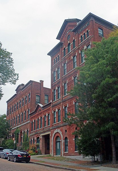
The Center Square/Hudson–Park Historic District is located between Empire State Plaza and Washington Park in Albany, New York, United States. It is a 27-block, 99-acre area taking in both the Center Square and Hudson/Park neighborhoods, and Lark Street on the west. In 1980 it was recognized as a historic district and listed on the National Register of Historic Places. ()
Coordinates: 42°39'8"N, 73°45'55"W
Address
Hudson ParkAlbany
ContactAdd
Social media
Add
Day trips
Center Square/Hudson–Park Historic District – popular in the area (distance from the attraction)
Nearby attractions include: New York State Capitol, Times Union Center, The Egg Building, New York State Fallen Firefighters Memorial.
Frequently Asked Questions (FAQ)
Which popular attractions are close to Center Square/Hudson–Park Historic District?
Nearby attractions include Dana Park, Albany (4 min walk), Wilborn Temple First Church of God in Christ, Albany (5 min walk), Ogden Mills & Ruth Livingston Mills State Park, Albany (6 min walk), Statue of Robert Burns, Albany (7 min walk).
How to get to Center Square/Hudson–Park Historic District by public transport?
The nearest stations to Center Square/Hudson–Park Historic District:
Bus
Bus
- Core 1 • Lines: 224 (5 min walk)
- Madison Ave & Empire State Plaza • Lines: 224, 540 (8 min walk)


