Union Transfer, Philadelphia
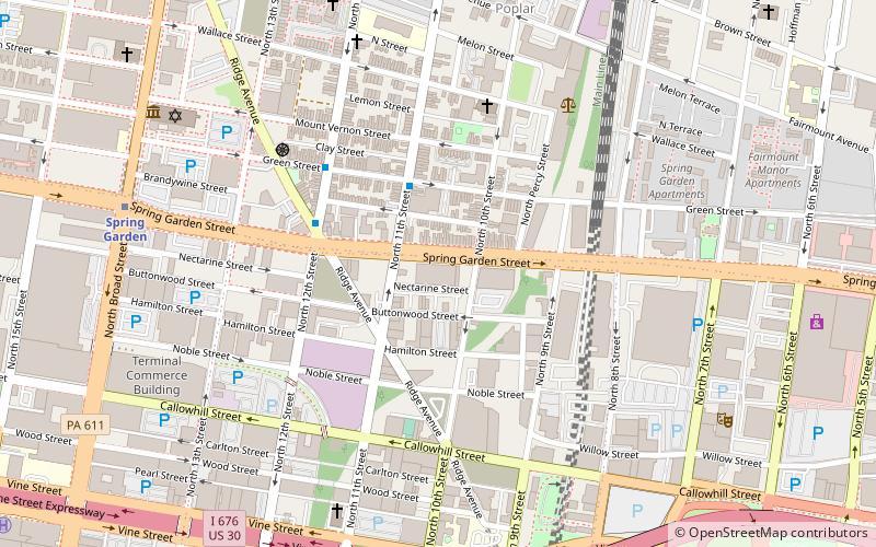
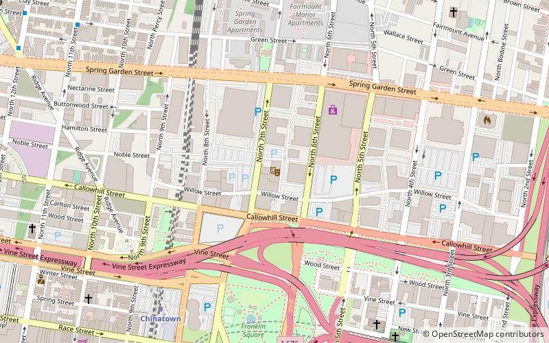
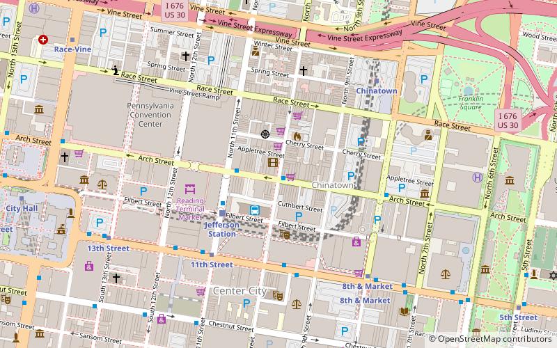
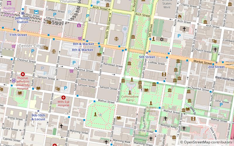
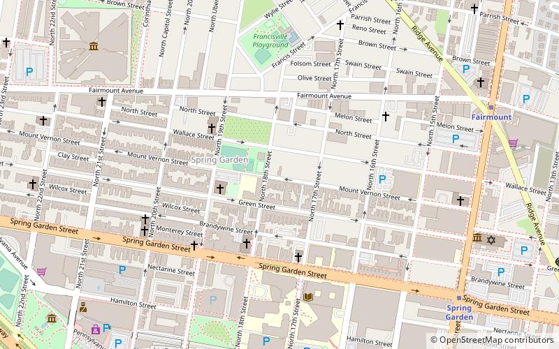
Map
Facts and practical information
Union Transfer is a music venue in Philadelphia, Pennsylvania. The venue opened as a joint venture between The Bowery Presents and R5 Productions. Union Transfer first opened to the public on September 21, 2011. ()
Opened: 2011 (15 years ago)Capacity: 1200Coordinates: 39°57'41"N, 75°9'19"W
Getting there by public transportation
Public transportation stops near this location
- Metro
- Bus
- Tram
- Train
 Metro
Metro
- Calculate routeSpring Garden 9 min walk
- Calculate routeGreyhound Terminal 16 min walk
- Calculate routeFlixBus Philadelphia Market Street 20 min walk
- Calculate routeChestnut St & 12th St 21 min walk
- Calculate routeChestnut St & 13th St 22 min walk
- Calculate routeJefferson Station 16 min walk
- Calculate routeSuburban Station 21 min walk
- Calculate routeGirard Avenue & 11th Street 17 min walk
- Calculate route13th Street 19 min walk
Maps SEPTA Regional Rail
SEPTA Regional RailDay trips


Frequently Asked Questions (FAQ)
Which popular attractions are close to Union Transfer?
Nearby attractions include Reading Viaduct, Philadelphia (3 min walk), Callowhill, Philadelphia (5 min walk), Guild House, Philadelphia (7 min walk), Thaddeus Stevens School of Observation, Philadelphia (7 min walk).
How to get to Union Transfer by public transport?
The nearest stations to Union Transfer:
Metro
Bus
Train
Tram
Metro
- Spring Garden • Lines: Bsl (9 min walk)
Bus
- Greyhound Terminal (16 min walk)
- FlixBus Philadelphia Market Street • Lines: 2602, 2680, N2610 (20 min walk)
Train
- Jefferson Station (16 min walk)
- Suburban Station (21 min walk)
Tram
- Girard Avenue & 11th Street • Lines: 15 (17 min walk)
- 13th Street • Lines: 10, 11, 13, 34, 36 (19 min walk)