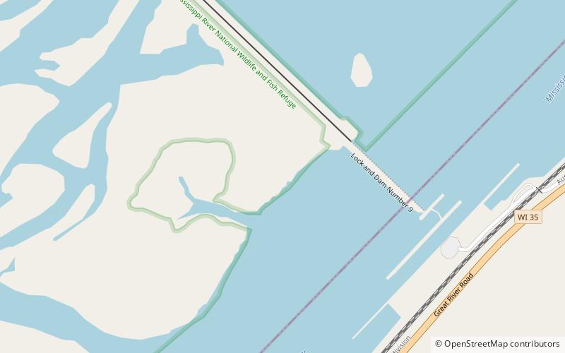
Lock and Dam No. 9, Upper Mississippi River National Wildlife and Fish Refuge


Facts and practical information
Lock and Dam No. 9 is a lock and dam located near Lynxville, Wisconsin and Harpers Ferry, Iowa on the Upper Mississippi River around river mile 647.9. The lower portion of Pool 9 was formally named Lake Winneshiek. The normal pool elevation behind the dam is 620 feet. It was constructed and placed in operation in July 1937. The site underwent a major rehabilitation from 1989 and 2006. The dam consists of concrete structure 811 feet long with five roller gates and eight tainter gates. Earth embankment 9,800 feet long with a grouted overflow spillway 1,350 feet long. The lock is 110 feet wide by 600 feet long. Lock and Dam No. 9 is located 12 miles upstream from Prairie du Chien, Wisconsin. The lock and dam are owned and operated by the St. Paul District of the United States Army Corps of Engineers-Mississippi Valley Division. ()
Upper Mississippi River National Wildlife and Fish Refuge
Lock and Dam No. 9 – popular in the area (distance from the attraction)
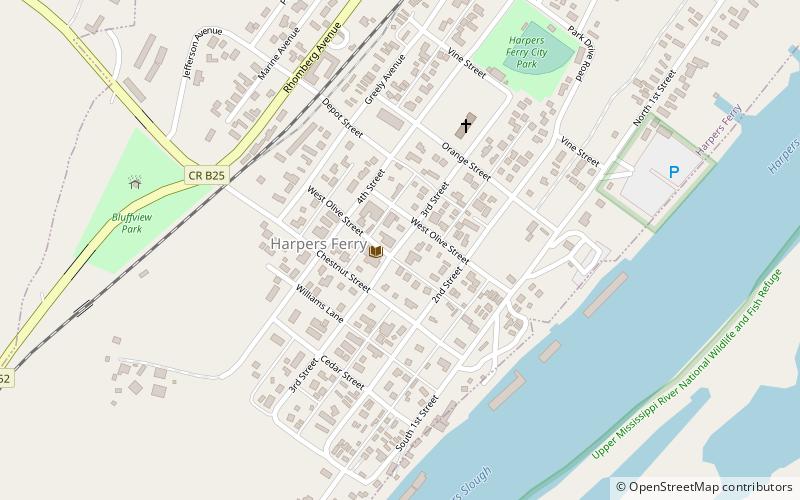
Nearby attractions include: Harpers Ferry.