Las Vegas Plaza, Las Vegas
Map

Map

Facts and practical information
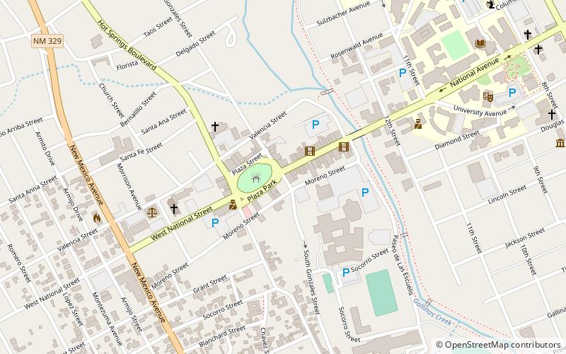
The Las Vegas Plaza is a plaza and historic district in Las Vegas, New Mexico. The plaza was originally laid out in 1835 by Mexican settlers and is surrounded by a number of historically and architecturally notable buildings. It was listed in the National Register of Historic Places in 1974. ()
Built: 1835 (191 years ago)Area: 2.5 acres (0.0039 mi²)Coordinates: 35°35'34"N, 105°13'34"W
Address
Las Vegas
ContactAdd
Social media
Add
Day trips
Las Vegas Plaza – popular in the area (distance from the attraction)
Nearby attractions include: First Baptist Church, St. Paul's Memorial Episcopal Church and Guild Hall, Our Lady of Sorrows Church, Presbyterian Mission Church.
Frequently Asked Questions (FAQ)
Which popular attractions are close to Las Vegas Plaza?
Nearby attractions include Our Lady of Sorrows Church, Las Vegas (5 min walk), Presbyterian Mission Church, Las Vegas (6 min walk), New Mexico Highlands University, Las Vegas (11 min walk), St. Paul's Memorial Episcopal Church and Guild Hall, Las Vegas (12 min walk).


