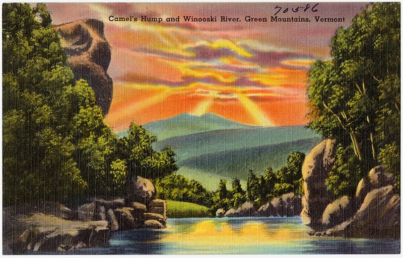
Camel's Hump, Waterbury
Map
Gallery
Facts and practical information
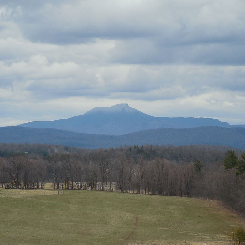
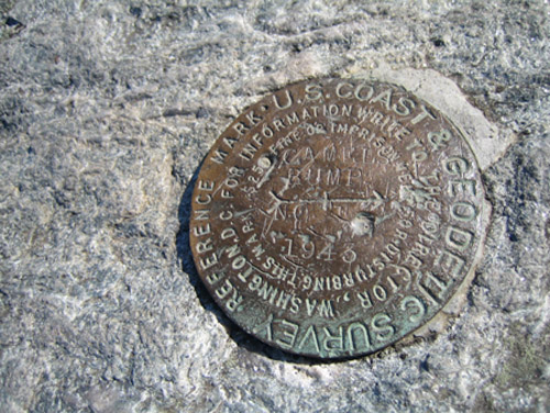
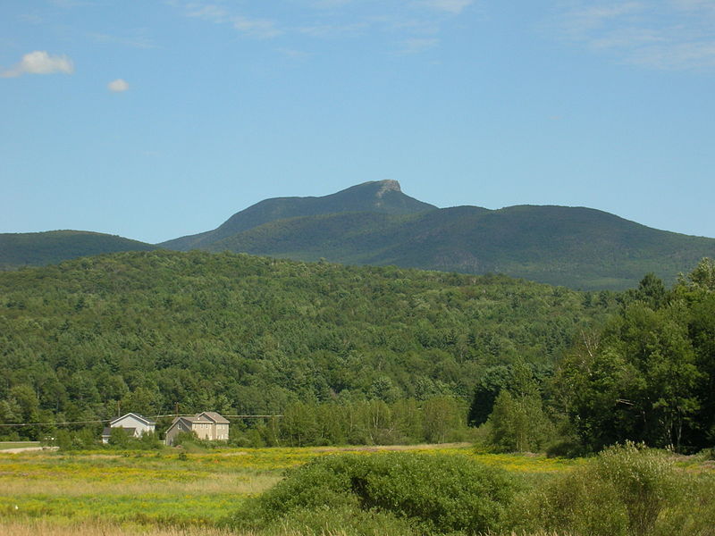
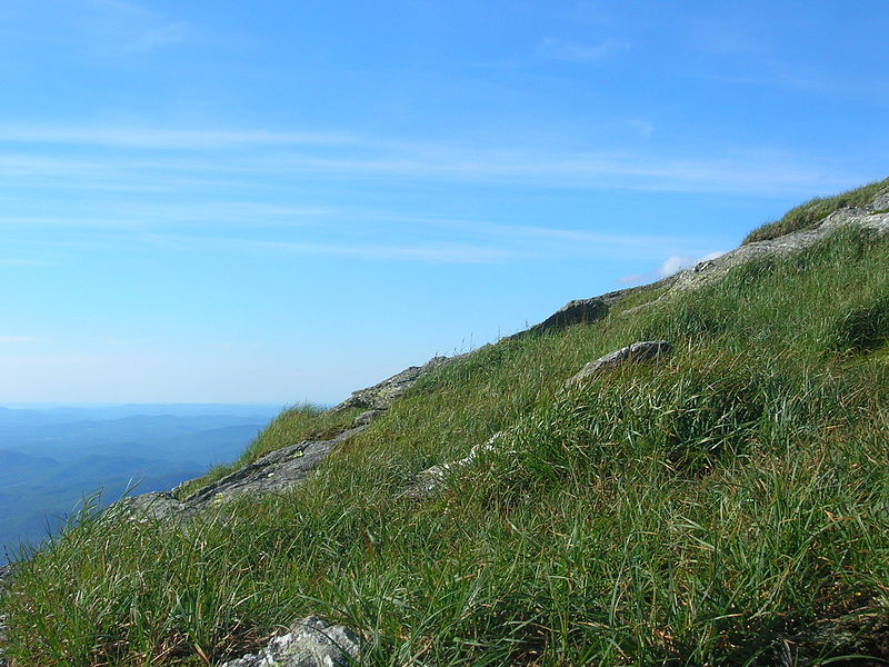
Camel's Hump is a mountain in the Green Mountains in the U.S. state of Vermont. The north slope of the mountain borders the Winooski River, which has carved through the Green Mountains over eons. At 4,083 feet, it is tied for the third-highest mountain in Vermont. Surrounded by 10 acres of alpine tundra, the mountain is the most significant feature in Camel's Hump State Park. Because of its distinctive profile, it is perhaps the state's most recognized mountain, featured on the state quarter. ()
Elevation: 4083 ftProminence: 1860 ftCoordinates: 44°19'10"N, 72°53'10"W
Day trips
Camel's Hump – popular in the area (distance from the attraction)
Nearby attractions include: Old Round Church, Huntington Lower Village Church.


