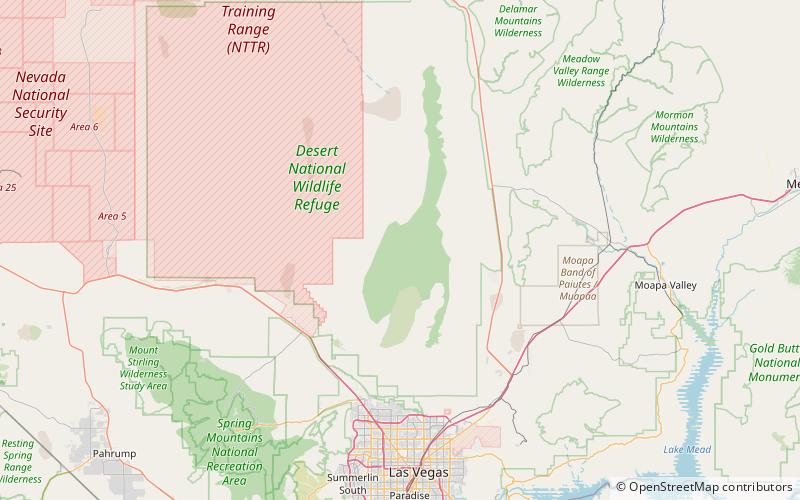
Hayford Peak, Desert National Wildlife Refuge

Map
Facts and practical information
Hayford Peak, elevation 9,924 feet, is the highest mountain in the Sheep Range of Clark County, Nevada, United States. It is the seventh-most topographically prominent peak in the state. The nearest taller mountain is Mount Charleston, 34 miles to the southwest. In the winter months, there is snow on the peak, which usually lasts until early spring. ()
Elevation: 9924 ftProminence: 5392 ftCoordinates: 36°39'26"N, 115°12'4"W
Address
Desert National Wildlife Refuge
ContactAdd
Social media
Add